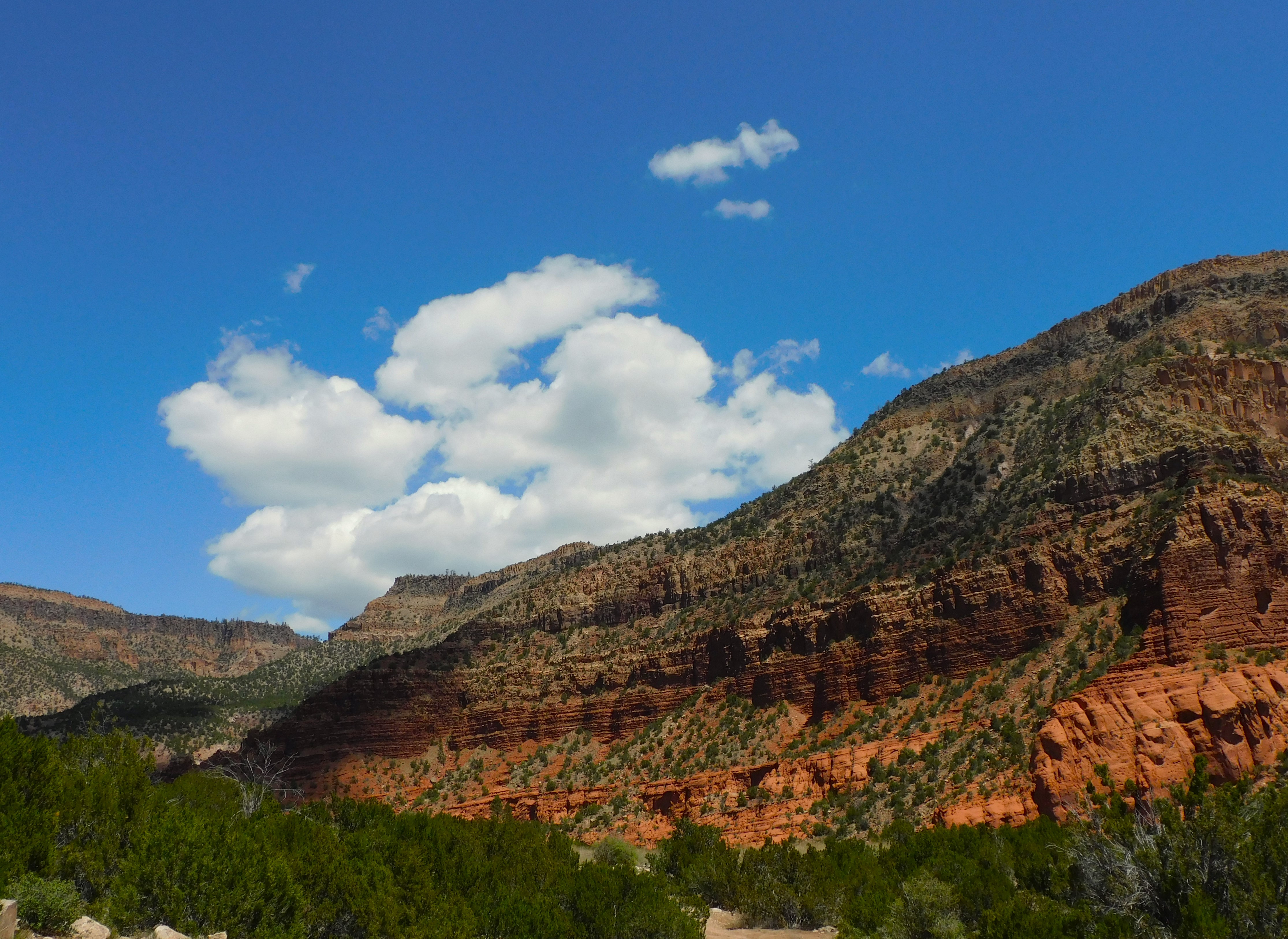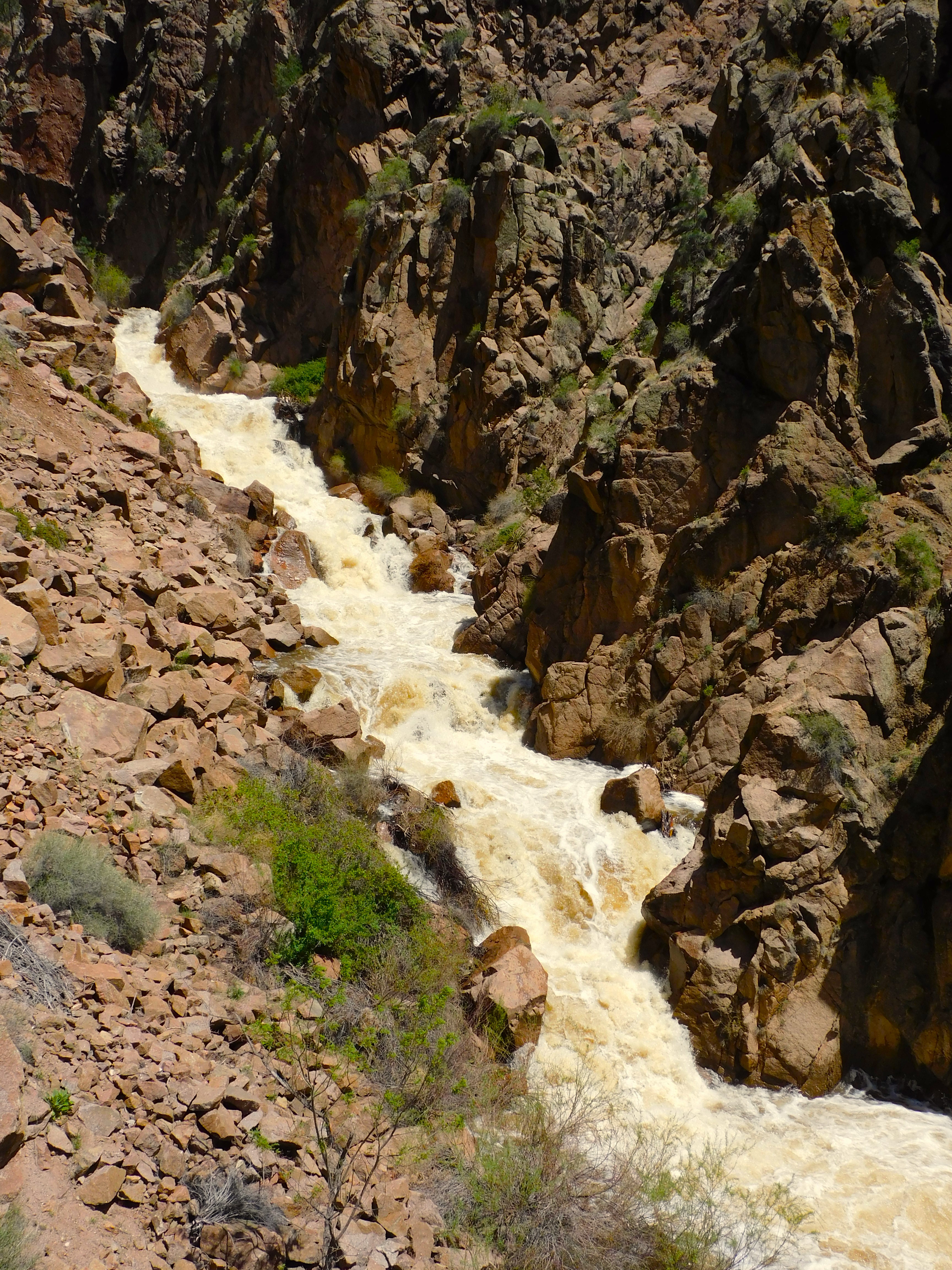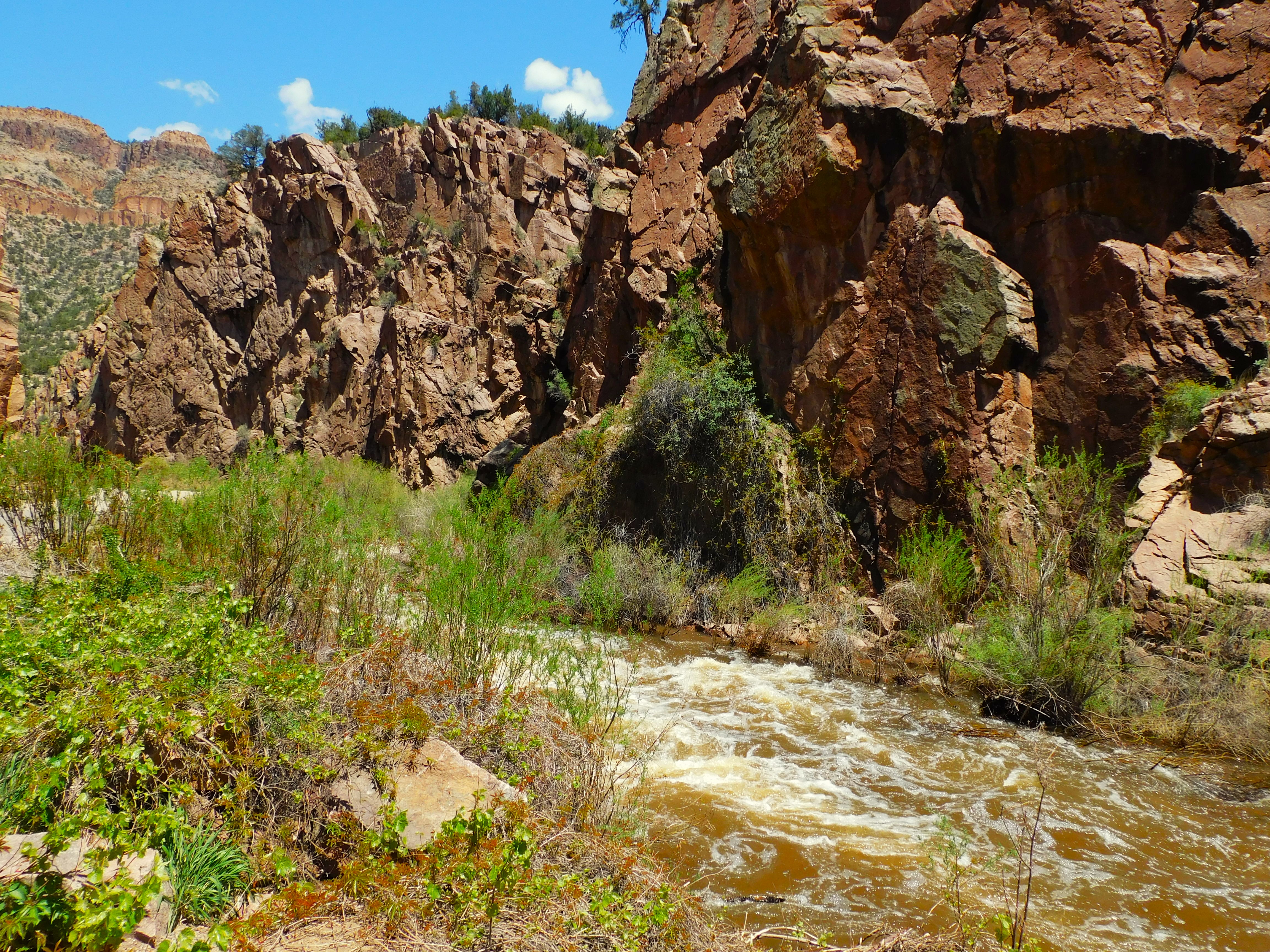
I spent a week up at Red River, NM — high up in the Sangre de Cristo Mountains. My intention was to spend my time fishing the Red River and the Cimarron River — and any other spots I could find. One thing that is awkwardly noticeable as you approach Red River from the west (via Cuesta) is the humongous Molybdenum mine — Moly for short. No one can pronounce Molybdenum accurately more than once so Moly is the term of choice. The mine is an open pit but you can’t actually see into it because of the huge tailing piles along the highway. Those waste piles have leached acidic drainage into the Red River and made it a dead zone for many years. It is now a Super Fund site, and it is coming back over time. The fish in that stretch of the river fled or died out but I saw some people fishing there so maybe it is supporting natural and healthy flora and fauna in the stream, which will support the fish. Anyway…this epistle is not about fishing but rather mining.
A Rockhound friend came up to visit for a couple days and we went off to explore the backcountry mining district in Cabresto Canyon. Why there? It was a little out of town and not very busy. The Red River mining district goes back over the 175 years that it has been in the US and perhaps a couple hundred years before that. It was noted for gold, silver, lead, copper, moly, and a number of other ores. Mining continued in the area until recently and some mines are still active.
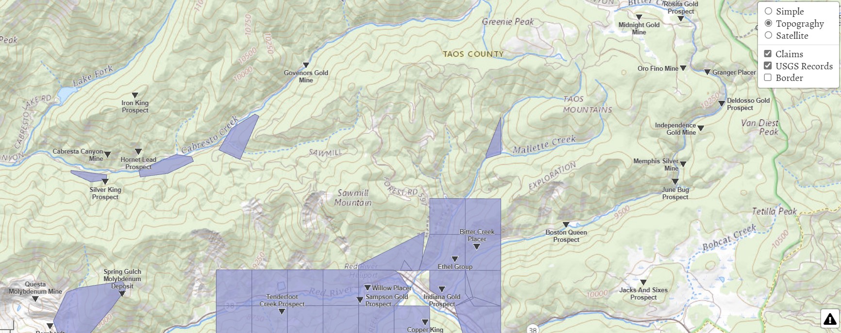
USGS map found on thediggings.com website.
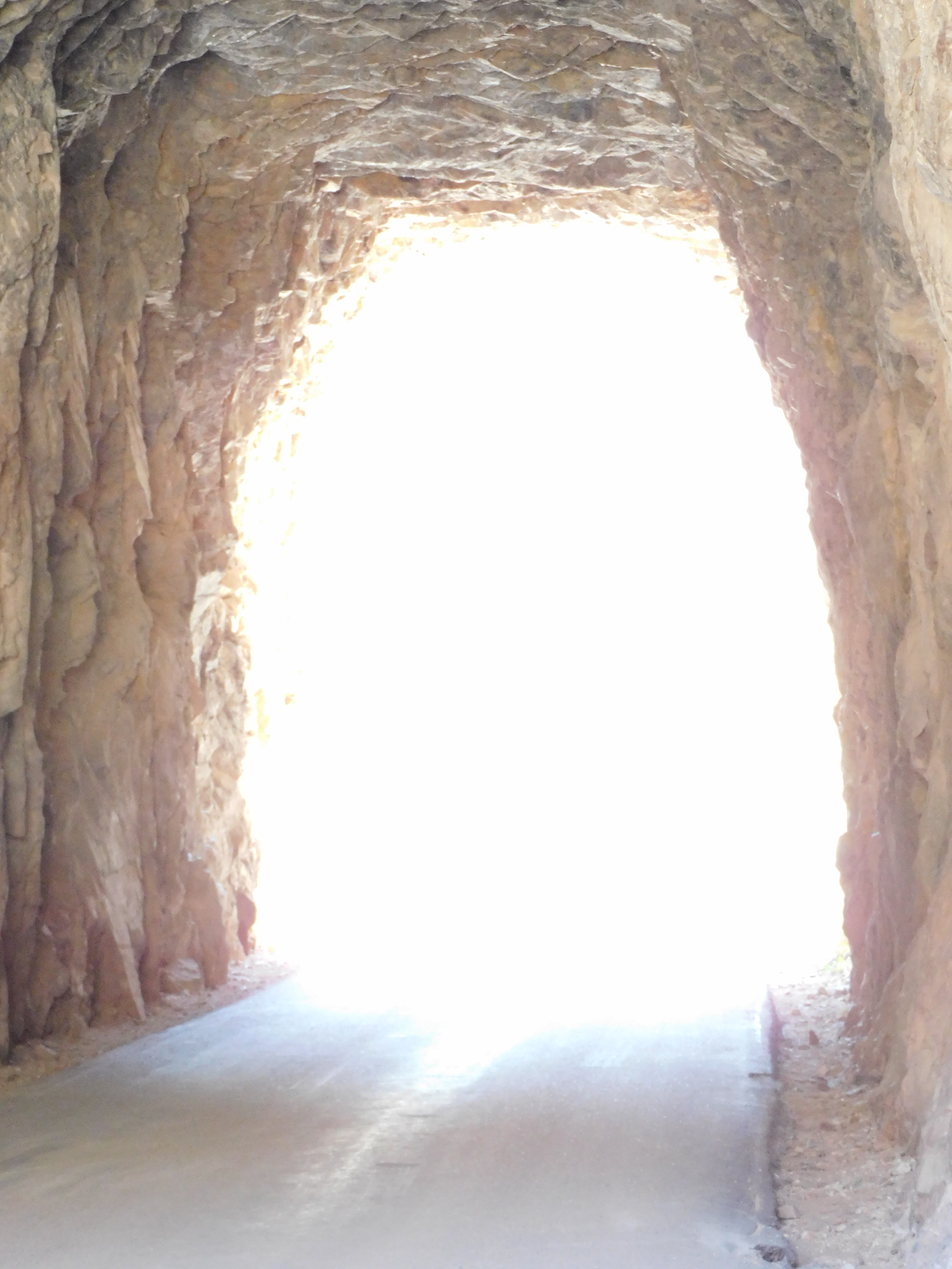
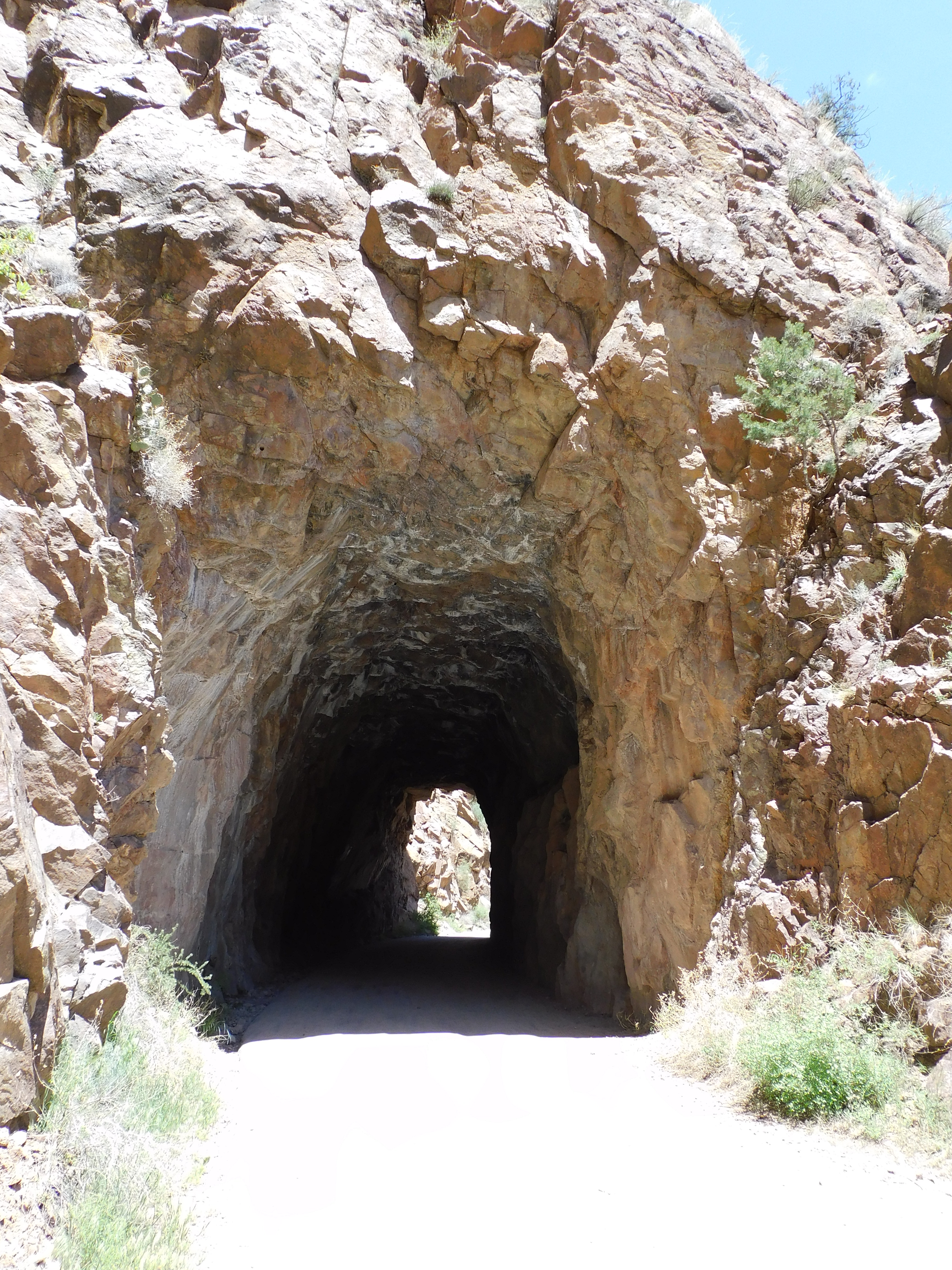
There are several hundred inactive mining claims in and around Red River — too many to show in the gray areas. We followed the Cabresto Creek canyon drainage system from around 9,000 feet up to 10,700 feet in elevation and into the Bitter Creek area. We identified six mine sites. We found one unidentified mine located below Cabresto Lake, the Cabresto Canyon Mine, Hornet Lead Prospect, Silver King Prospect, The Governors Gold Mine (Spanish Main), the Midnight Gold Mine, and Cashier Gold Mine. The last two have been essentially cleared by the US Forest Service for environmental reasons. The others have identifiable tailings, prospect holes or shafts. Tailings piles of over 100-150 years old are largely overgrown.
We had the benefit of flying photo-drone to gain some photographic views of the higher slopes and different angle perspectives on some of the mining sites. The actual mine shafts or diggings were often too far up the mountain slope for easy access.
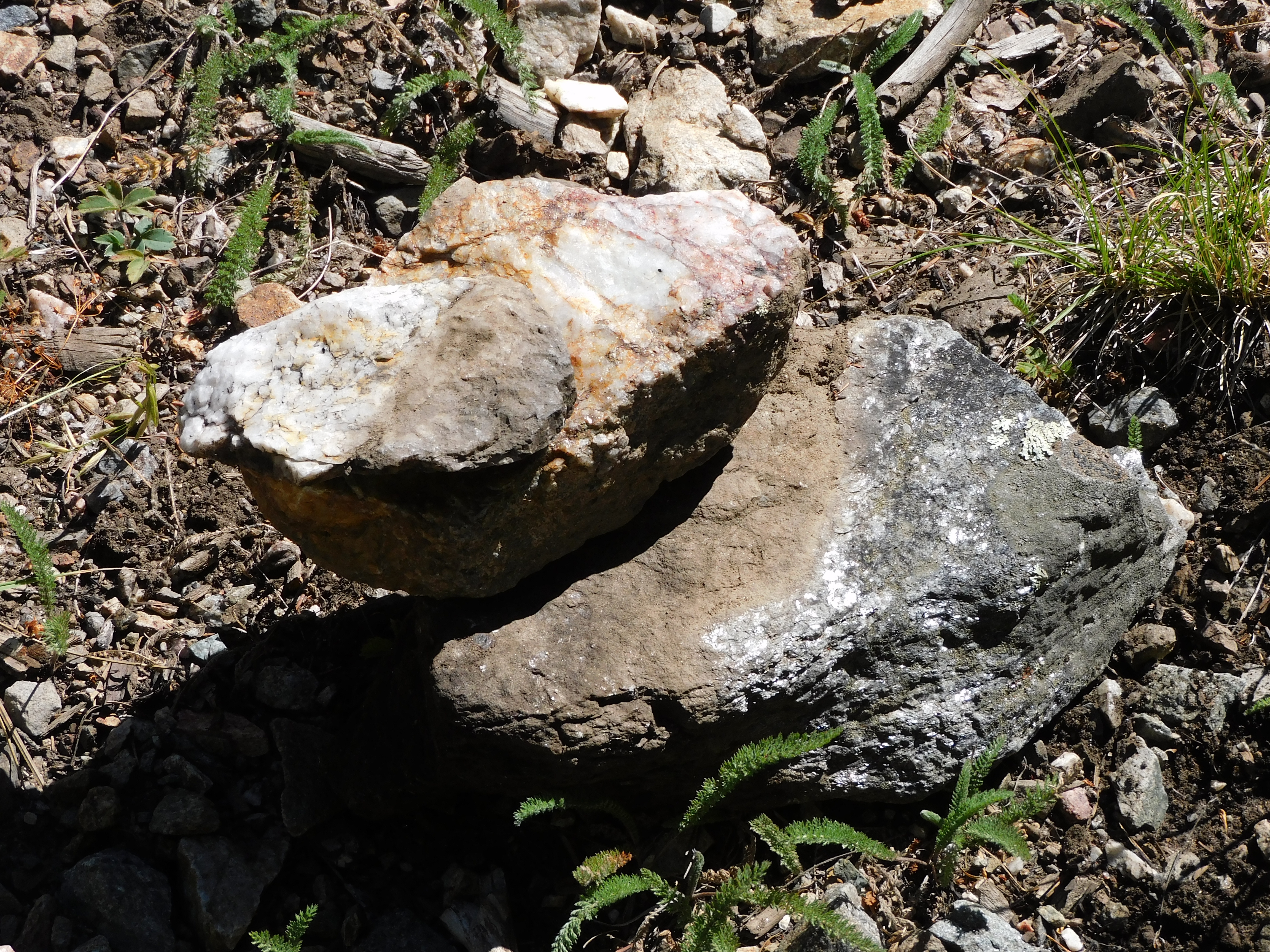
The area is either a geologist’s nightmare or a geologist’s heaven — depending on the intent and skill level. The wide variety of mineral content makes identification difficult. We found some ore that strongly reacted on a metal detector. Much of what we found had biotite mica inclusions, chalcopyrite and some interesting quartz, lead, and even tourmaline samples. Further identification will have to wait.
The Silver King Prospect seems to have been inactive and overgrown on a steep and ravined hillside. I have not found a date associated with the mine. We found some interesting surface mineral specimens and the site seems to be frequently visited by hikers. The Hornet and Cabresto mine sites were identifiable only due to some noticed tailing pile outcrops on the hillside. They do not seem much accessible beyond that. The unidentified mine site was found by tailings, but the actual mine site is farther up the hill. This site was near the road and had a very broad range of rock and mineral types. Mica was most abundant.
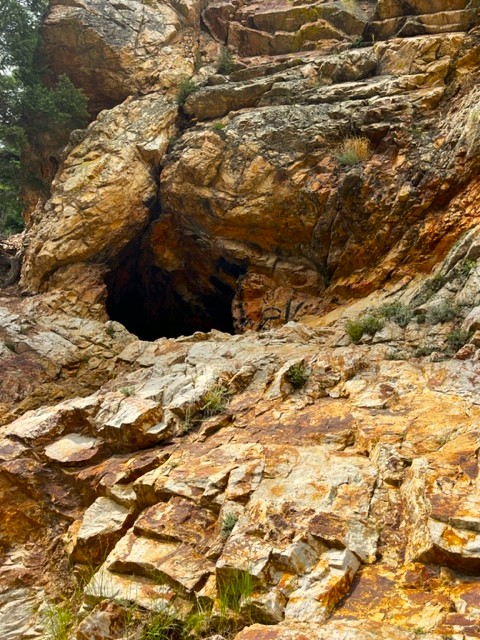
The Governor’s Gold Mine is also known as the Spanish Main Prospect. The mine apparently dates back to the Spanish colonial period in the 1600s to the early 1800s. There is a mine shaft about 20 feet up off of the road that is enterable for some distance. The story associated with the mine is that the early miners sent $10,000 each month to the Queen of Spain as a royal share of the mine’s output. That is hard to believe looking at it now. We found evidence of prospect holes and diggings and the metal detector reacted to a number of surface ore samples. It is hard to know when any of the visible activity evidence took place.
The Midnight Mine and Cashier Mine are close together in an open parklike area at almost 10,700 feet. The Midnight Gold Mine operated at a profit from about 1897 until 1900 when it was abandoned. There are photographs of a respectable the mining camp named Midnight City existing on the flat area just below the mine and there are some possible remnants of building foundations. The site is littered with nails. The associated mining camp and structures were left on the site and still evident in the 1960s. All of that, including the smelter and tailing piles have been removed and the shaft entrance filled in by the USFS. The townsite is now mostly a boggy wetland.
The Cashier mine has even less remaining of its active period. There are traces of old wagon tracks but not much else. The ghost towns have been hauled away or melted into the terrain.
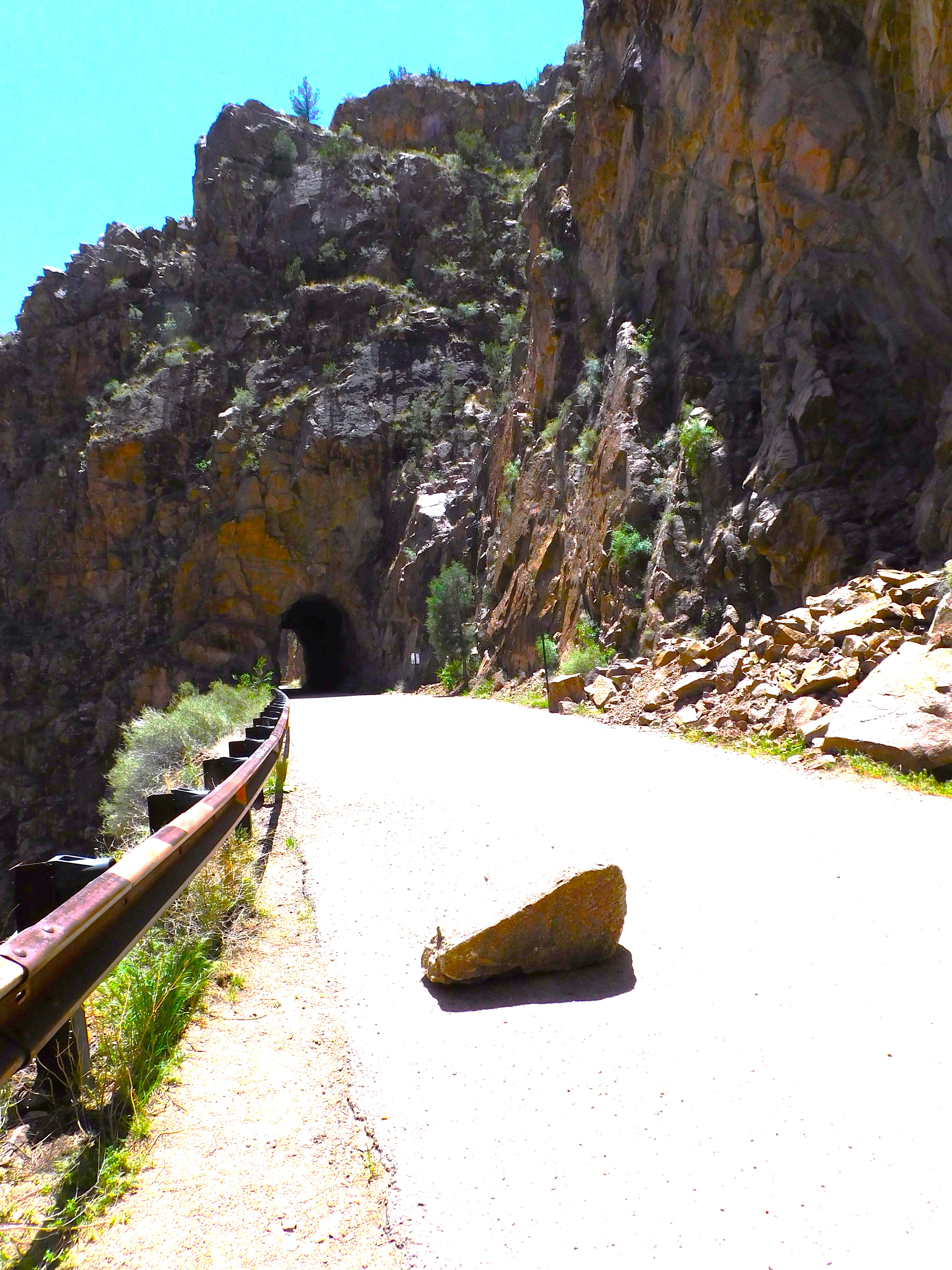
We chose not to explore the mines closer in toward Red River but there are many and some apparently still have relics or structural evidence. That will be another year. Red River is a skiing and summer tourist town blessed or infected by Texans, depending on your point of view. The local entrepreneurs offer guided jeep tours into the mountains chock full of Texans of every age and gender. They scowled and did not seem to be enjoying themselves whenever we encountered them. The tourists also can rent an off-road vehicle and cruise through the unpaved and deeply rutted mountain roads at breakneck speed. Watch for oncoming careening Texans in off-road vehicles.
For more information on the general area look here…
Click to access Circular18.pdf
Click to access Scenic_Trip-02_Reprint.pdf