Where I Lost my Hat.

I spent the afternoon bushwhacking at Ojito near the bike trails. I explored some low cliffs along what seems to be a former stream bed, now dry.  A rough location approximation is HERE on Google maps. You will see sort of a diamond shaped sloping mesa with a low cliff to the south and a higher one to the north. The rock seems to mostly be sandstone but mixed and very pock-marked in places. It doesn’t look like much as you approach the lower edge (south).

Click on these pictures for full size.

The cattle tracks will lead to an easy way up over the low cliff to the sloping top of the mesa.

This is a slab of rock that is about table sized that apparently fell from the top of the low sandstone cliff. It is too big to move.

There are fossils of something —  maybe crinoid or maybe vertebrae. There are other undefinable fossils. Since this was the floor of the inland sea, I’m guessing crinoid shafts. There are two or maybe three traces. (Click to enlarge.)

As often happens, I will stumble upon something that is very odd. This time it is a very peculiar jointed/cracked section of exposed bedrock. It looks like mud or silt that curled up when dried after a wet period. 

The rectangular sections are maybe 15-20 inches to a side, much larger than typical mud flakes. It looks like a natural tiled floor surface. I have never seen that type of jointing and cracking of bedrock before. 

It takes a while to walk up hill to the northern edge and the higher cliff face on the north edge. That is where I lost my hat — a wind gust took it over the edge of the cliff. No way to get it. It was a good hat.

Anyway, while sitting on a rock and moping about my hat I found what I think will turn out to be a conical spiral shell fossil. It is only partly exposed but it looks promising. 

The view from the top is impressive…

I ran out of time so headed back home but the area looks interesting. The main road climbs up a slope some distance to the south and may top out a half mile along on the same rock strata as the top of the cliff.

     *     *     *     


High Desert Winter

A cold day in the New Mexico outback — near Cabezon Peak

DSCN7356xy

Temperature maxed out at about 27 F. Windy. Sunny. A little treacherous. Not too bad

DSCN7360xy

IMG_1859

Cabezon and Cerro Cuate

DSCN7357xx

Cabezon Peak

DSCN7367x

Cerro de Guadalupe

This is part of the Mount Taylor volcanic field (Rio Puerco Volcanic Necks).  Eruptions between 4 and 1.5 million years ago.

     *     *     *

The Home Place – 2024

Wanna Get Away?

IMG_0827I have a couple comrades who like to get away into the New Mexico outback — like me — and we have been roaming through the Rio Puerco/Cabezon Peak area, went to a mining ghost town, a few other places in the Jemez Mountains, and in the east mountains. We did this recently before the heat made us suspend our adventures. One is a trained geologist — the  paleo kind. He is a profesional photographer with his own business. The other is an avid rock hound and scrounger of any interesting debris. He finds some amazing stuff. I’m a photographer and poet and like to ramble. I have an interest in history and some geology training.  Here are a few pictures of what we have been up to these past few months. I enjoy going solo a lot of times but at my age it is good to have someone along.

Golden Open Space Area — East Mountains

The east mountains are east of Albuquerque. They have names — the San Pedro’s, the Ortiz, the Cerillos Hills, and South Mountain, – a volcano.  There is gold in them thar hills and some working gold mines. The Ortiz Mountains had the first gold strike way back in the 1820s or so, while under Mexican control. There are many mines in the area, not just for gold. The town of Madrid was a coal mining town. The Cerillos Hills is where the Pueblo Indians mined turquoise for trade all the way to Yucatan.  The Golden Open Space area is a public area owned by the city of Albuquerque but quite distant.  There were no other visitors that day and the temperature was in the 90s. You can click on the photos for a larger view.

It was too hot to poke around as much as one would like. There are a few fossil seashell imprints, but it would seem that there would be more than that but didn’t get across the deep arroyo that day.

The Kelly Mine and Ghost Town

The mining district near Magdelena. New Mexico produced zinc ore and maybe six or more other profitable minerals including some silver and gold. The Kelly Mine operated from about 1880 into the 1920s, more or less, and mostly produced zinc ore. It is private but open for public access and still has some impressive mine structures, tailing piles, a few shafts, and a few standing walls and a cemetery from the old town. This is rock-hound heaven. We made the journey and spent most of a day roaming around the site. There were a few other visitors that joined us later in the day, but the site is mostly empty. The road leading to the place is a challenge. We found some interesting mineral specimen rocks including some “Fool’s Gold” and some zinc and quart.

We had the benefit of a drone so we could look around the hillsides and over the ridge to see what was accessible. The head frame was a nesting site for a family of crows who were not happy to see us or the drone.

Magdelena is a few miles down the road. There is not much there for visitors. There are other mines and ghost towns located to the north of town. That will be a future trip.

The Volcanoes — Petroglyph National Monument

Just immediately west of Albuquerque, on the west mesa, are several notable small volcanoes. Once upon a time, a five-mile crack opened and lava flowed out covering the mesa top. The crack became clogged in places and several smallish volcanoes erupted where the magma was still able to get through. The hard lava basalt covers the top of the mesa, but the volcanoes are a notable feature on the western horizon. It is a good place to hike and take photographs on a good day. The city and river valley are laid out below and the Sandia Mountains are directly across, holding up the east side of the Rio Grande Rift.

On our visit the Prickly Pear Cactus were in full bloom along with other wildflowers and a ringneck lizard joined the party by posing on a rock for a while.

In the ten years I have visited the volcanoes the Park Service has been gradually restricting access to certain areas. Visitors can still climb the middle volcano but not the other two. The area was a bit over used and is a fragile and easily damaged desert environment. The volcanoes also hold some sacred value to the local Pueblo Indians.

Shark Tooth Ridge

Shark Tooth Ridge is an ill-defined area noted for the presence of fossilized shark’s teeth out near the Puerco River and Cabezon Peak area. This is definitely the outback, and you can get lost out there if you try hard enough. It is not very easy to find and an hour or more west of Albuquerque.

This is part of the Mount Taylor Volcanic Field and there are dozens of old volcanoes and volcanic plugs. Cabezon Peak is the most prominent one and resembles Devil’s Tower in Wyoming but is a little larger. The last 15 miles are dirt roads and there are many to choose from — that is the challenge.  We found the place on our first try. Finding our way out was a little trickier.

We searched for several hours but never found a shark’s tooth, but the geology is interesting and so is the scenery. It is curious being both volcanic and also seabed sedimentary mixed together.  Since our visit one of our team did find a couple shark’s teeth so they are out there. We will go back. There are a lot of photo ops and a number of wild horses that roam the area.  There are also a few homestead relics where someone tried to settle in the area.

DSCN6053x

One thing I’ve noticed in the places we have been visiting is the lack of vandalism and “tagging” that you often see out in public spaces. That was especially true at the Kelly Mine where you might expect to see some vandalism.  Other places that we have visited, most notably the Gilman Tunnels, there is a lot of graffiti scrawled on certain areas. I guess people carry spray paint cans simply for the act of defacing public areas. I don’t get it.

Other places we have been visiting include the Gilman Tunnels and the Valles Caldera, both up in the Jemez Mountains, and the Hoodoos in the Ojito Wilderness. I have posted descriptions of those last three already.

     *     *     *

Carlsbad Caverns Trip

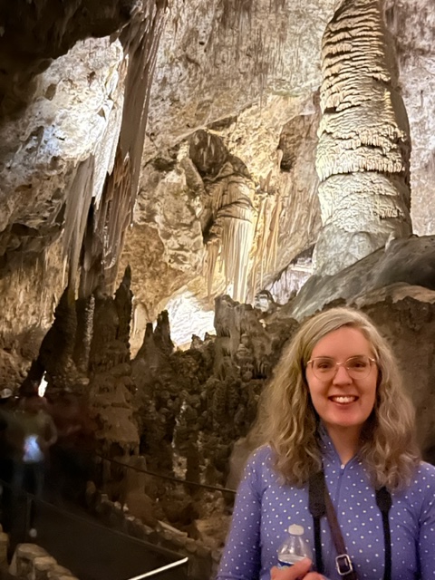
My daughter took me to Carlsbad Caverns for Fathers’ Day. I finally got to go — and I feel like I’m almost the last person who hasn’t seen it based on stories from friends. It is a wonder of wonders, just like they all said. Bear with me — it does involve photography.

Getting there has been the challenge for me over the ten years that I have lived in New Mexico. Even though it is in the same state, it is a 750-mile round trip journey from Rio Rancho to Carlsbad and it is not the most scenic route. A month ago, we had occasion to spend a weekend in Roswell, another new place for me, and it was a reasonable and enjoyable trip. We had a nice stay — so we figured that we could stay in Roswell again and make a day trip to Carlsbad – there and back. From here you go east on I-40 to Clines Corners. That is the roadside emporium where you can find almost any sort of tourist paraphernalia you want. Rubber tomahawk? You got it. Hat or Cowboy boots? Yep, pardner, right over there. A full cowhide? Sure, why not? Popcorn, peanuts, candy-coated snacks? You bet. Bathroom? Yessiree. The scenery was typical interstate up to that point. From there it was straight down highway 285 onto the high plains – let me emphasize straight. It is a better road than the interstate because nobody is on it. Dual highway straight to Roswell and then on south to Carlsbad.

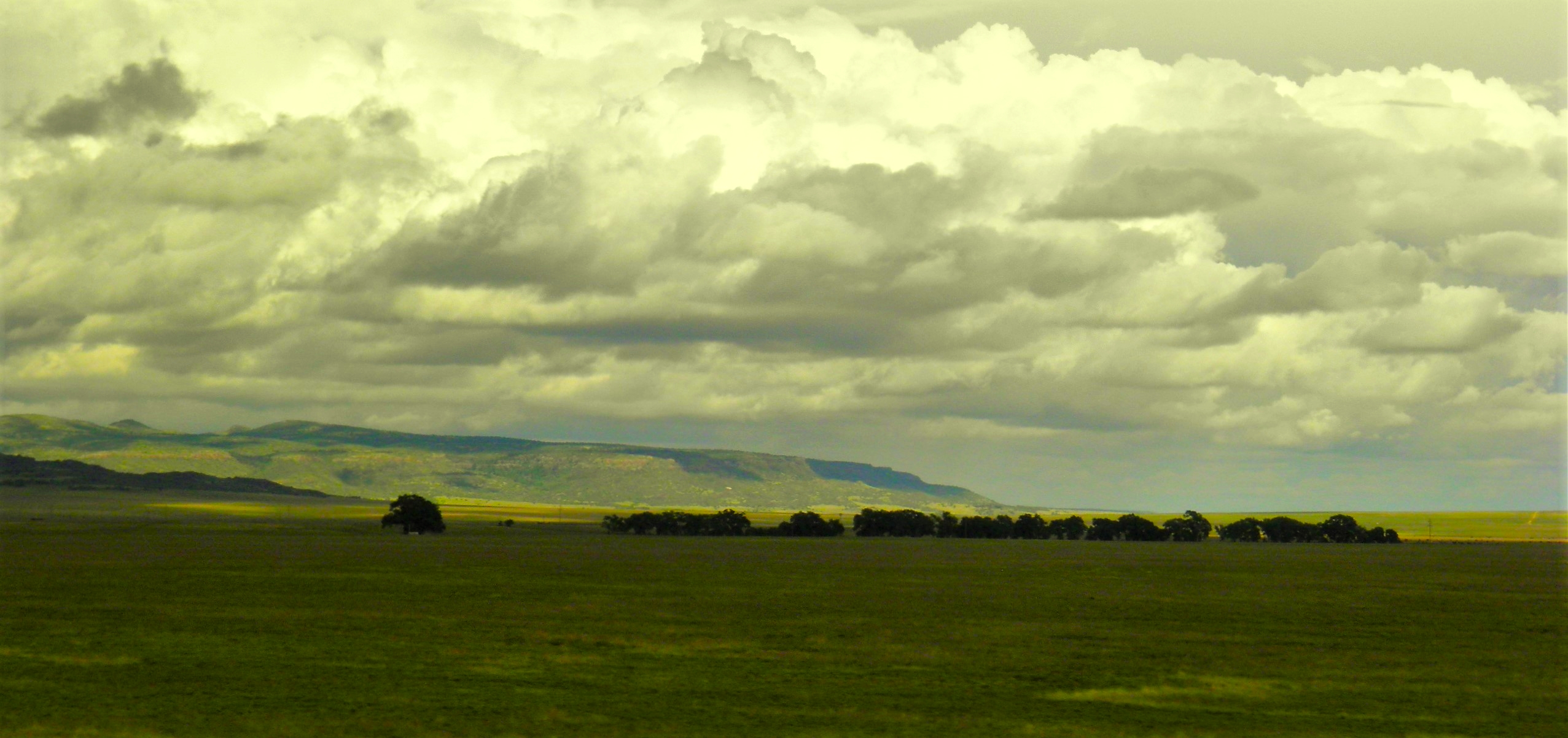
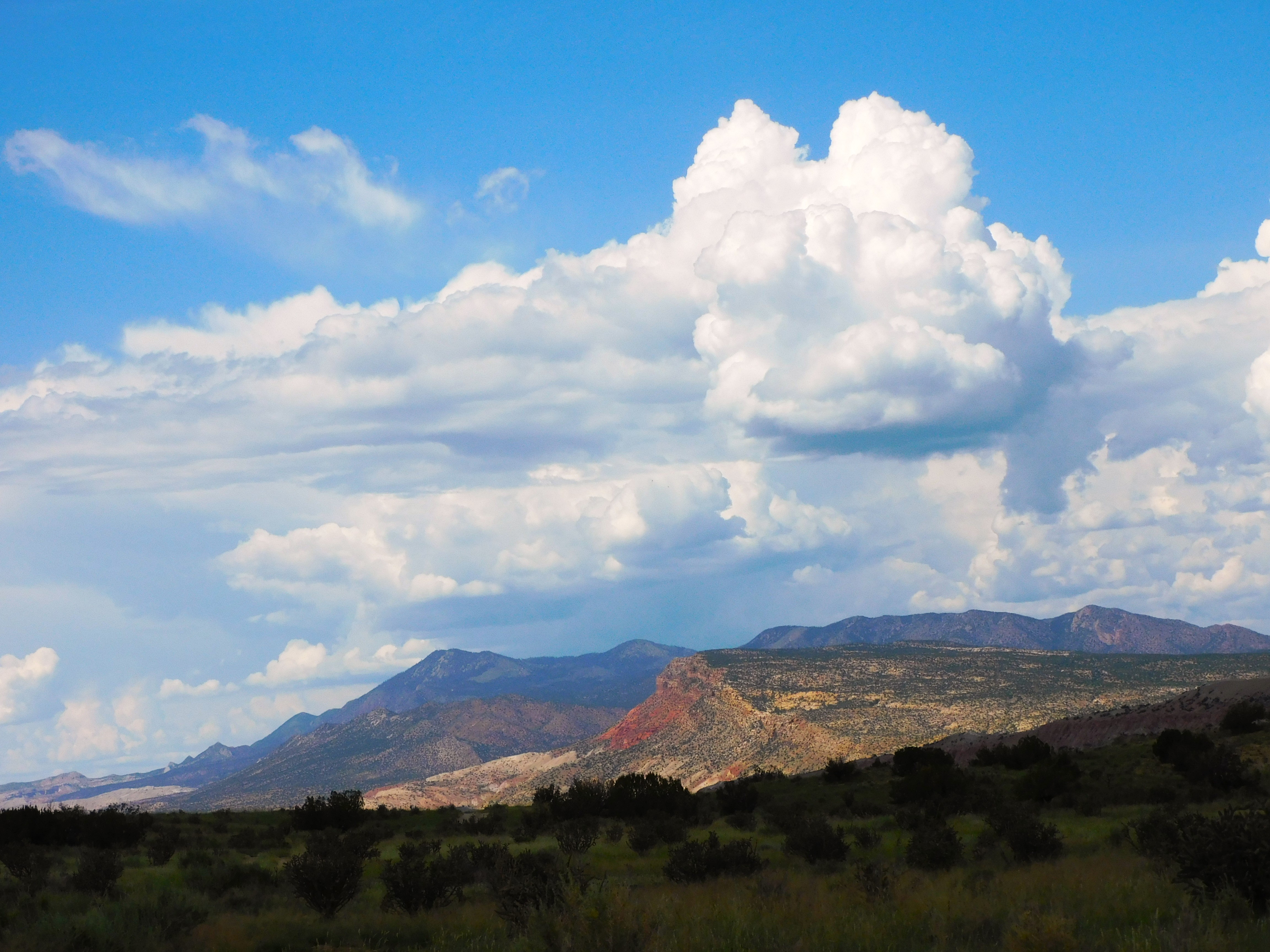
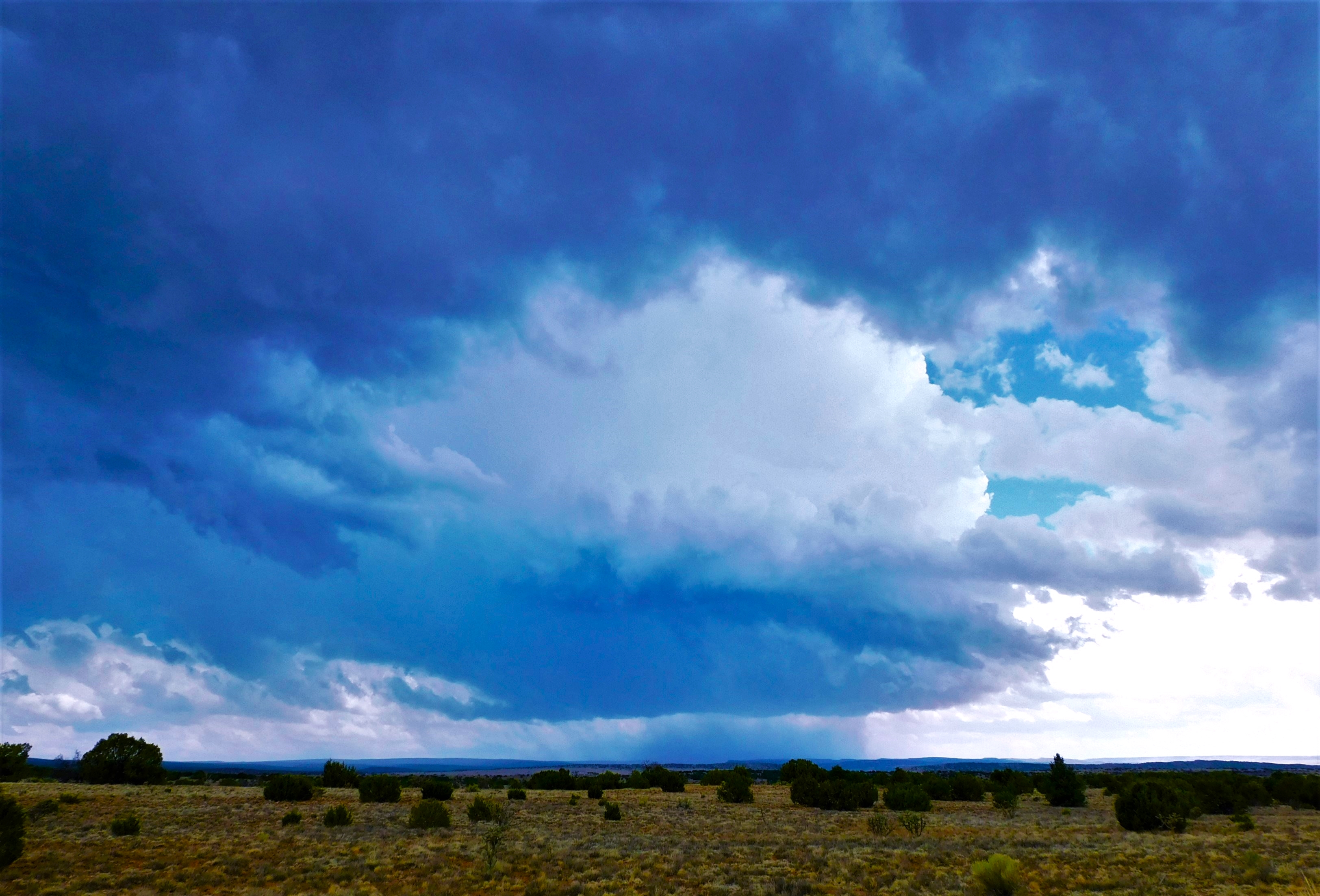
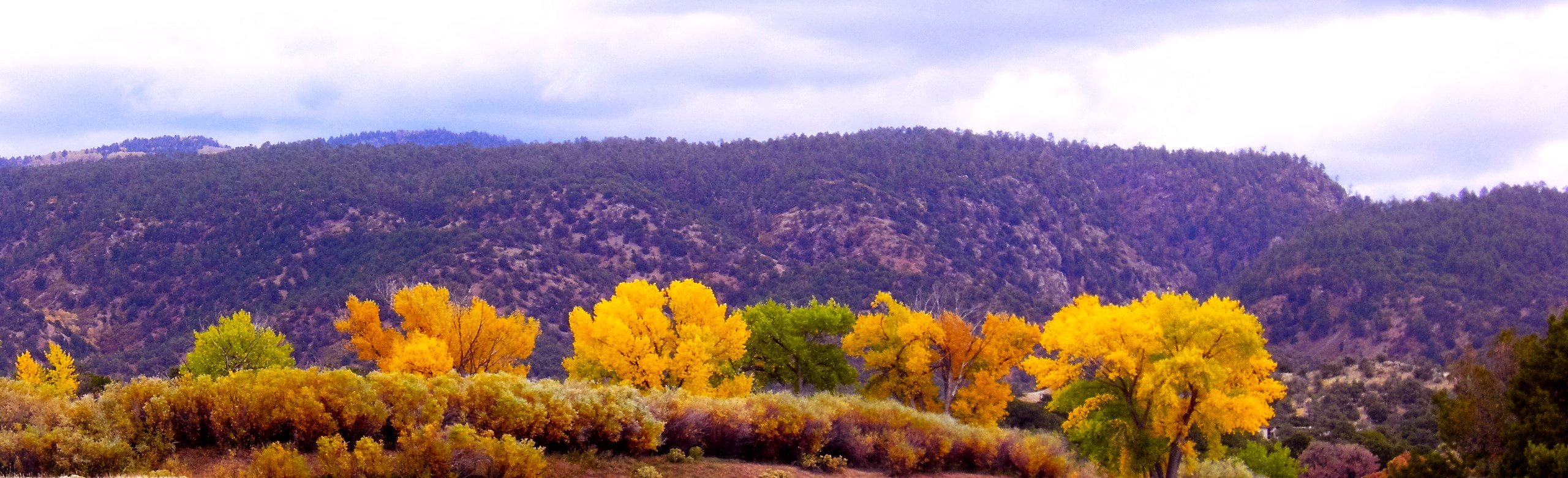
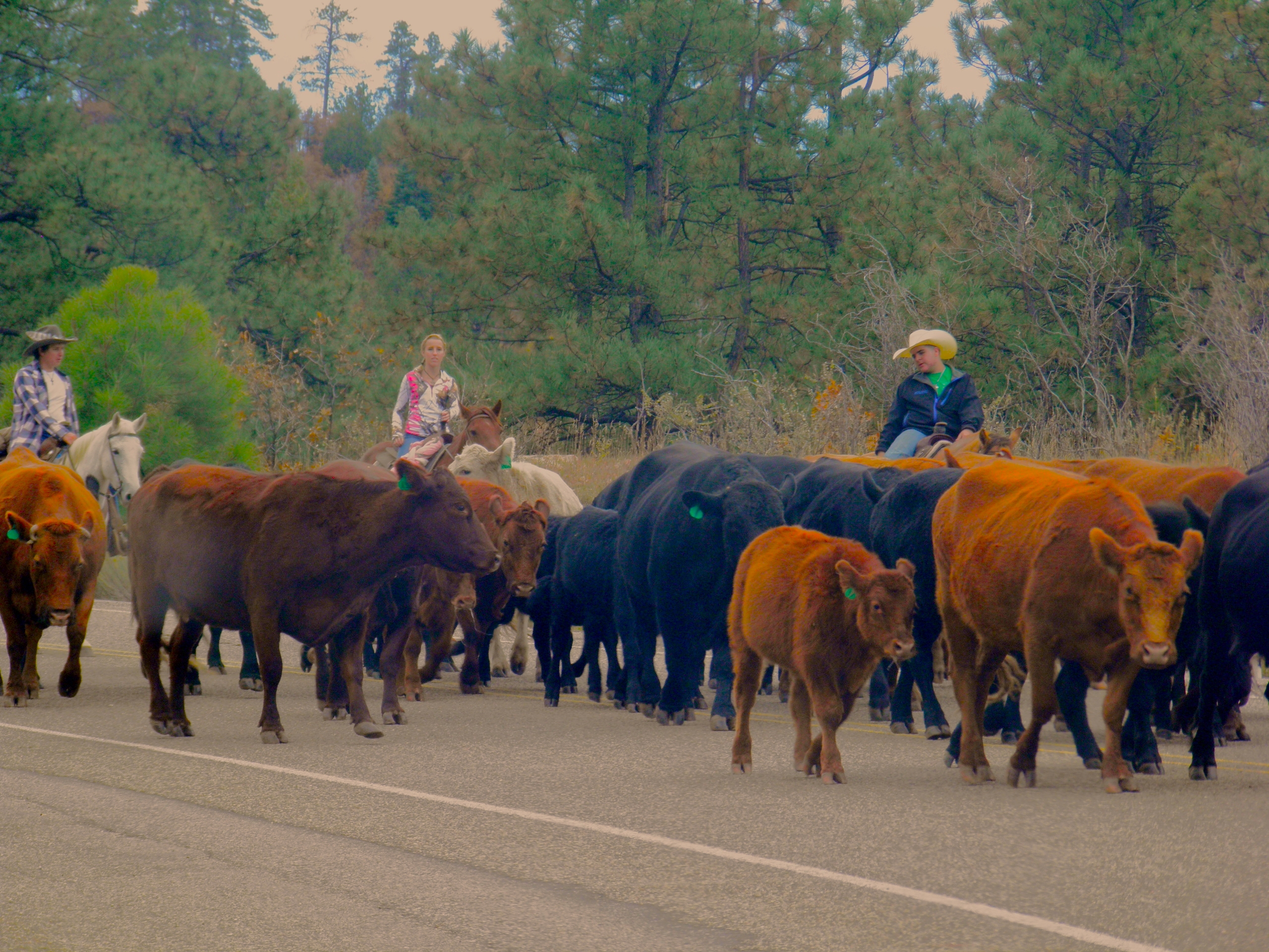
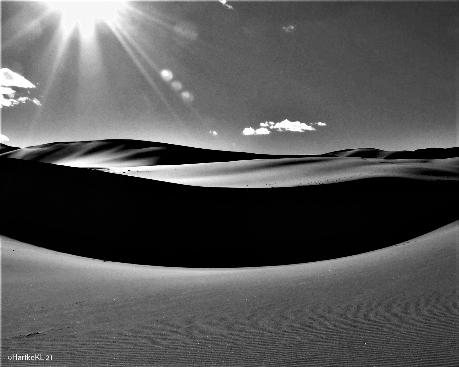
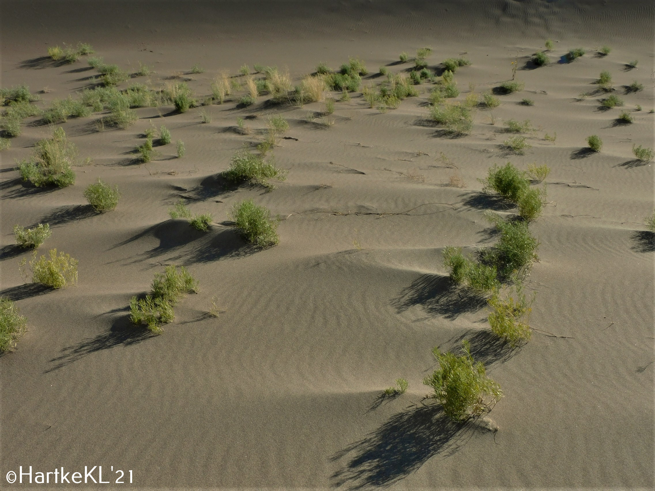
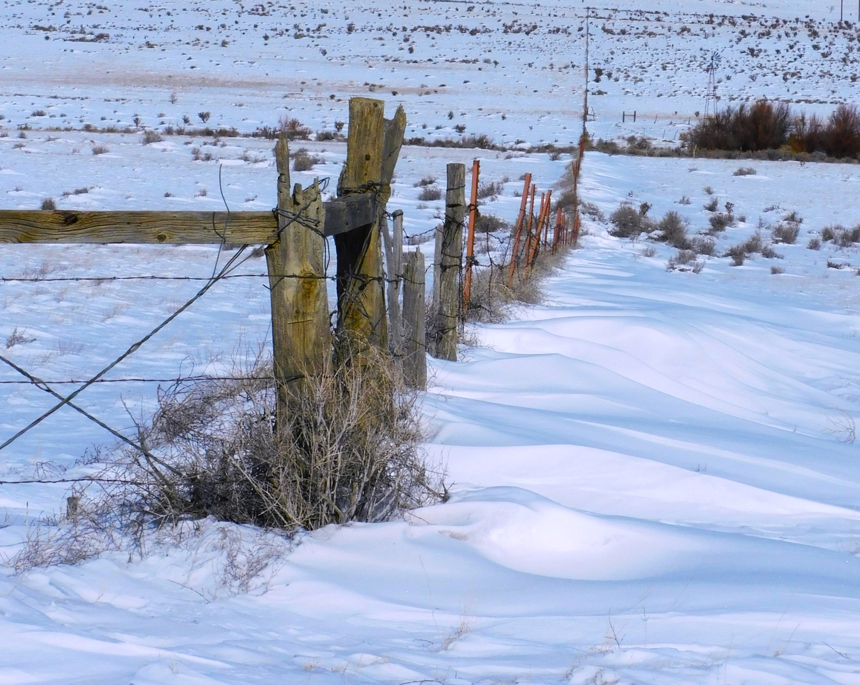
People complain about the high plains as they drive the interstate. Off of the interstate it reveals a different character and timelessness. I like driving backroads through Kansas and this was similar but no corn or soybeans — just grass and cactus as far as the eye can see. off in the distance there might be a wind farm, then a windmill and a water tank surrounded by cattle. Then a lonely single-file parade of cattle going nowhere in a hurry — for what? You can see twenty miles ahead and behind and there isn’t anything to get you moving. There are occasional trees that offer shade for a half-dozen cows. The Antelope, that you occasionally see as well as the cattle, must browse the tree leaves and branches and open up space for the cattle. Mighty considerate.

You will pass through Encino after a while. You see it ahead because of the trees. It is mostly dead or dying as a town. Halfway to Roswell is Vaughn. You might have noticed the freight trains over on the left (east) at some distance. The railroad has a presence in Vaughn. I think it would be a ghost town otherwise.  You will be hungry and wanting to get out and stretch by the time you get to Vaughn, especially if you didn’t go into Cline’s Corners. Vaughn has Penny’s Diner — a retro shiny metal-sided recreation of the old diners of bygone days. It is part of the Travelodge that sits back behind it and part of a chain of diners associated with that motel. I had a classic BLT that was great. The manager/waitress/motel clerk/server/cashier was doing temporary duty in Vaughn in that capacity — shipped there by Travelodge for two weeks from Yuma, Arizona because there was nobody local in Vaughn who would or could do the job.  Somebody had to mind the store — the railroad crews seem to be local customers and were not going away. The freight line was pretty busy.

After our sojourn in Vaughn, we continued across the plains to Roswell. I think I talked about Roswell before. It hasn’t changed in the last month. We ate at a nice Mexican restaurant. The primary entertainment back at our hotel was the US-Mexico soccer game — a shitshow that was eventually ended a few minutes early due to Mexico vans’ bad behavior — shouting homophobic slurs and throwing stuff on the field. The US team won 3-0.

The road to Carlsbad is much the same except for oil wells instead of wind turbines. I wonder why? Artesia still smalls bad due, I guess, to the petrochemical plant. Oil and gas seems to be their bread and butter here in Artesia. The state’s largest refinery is here. As a curiosity, check out Artesia’s old  Abo Elementary School in Wikipedia.

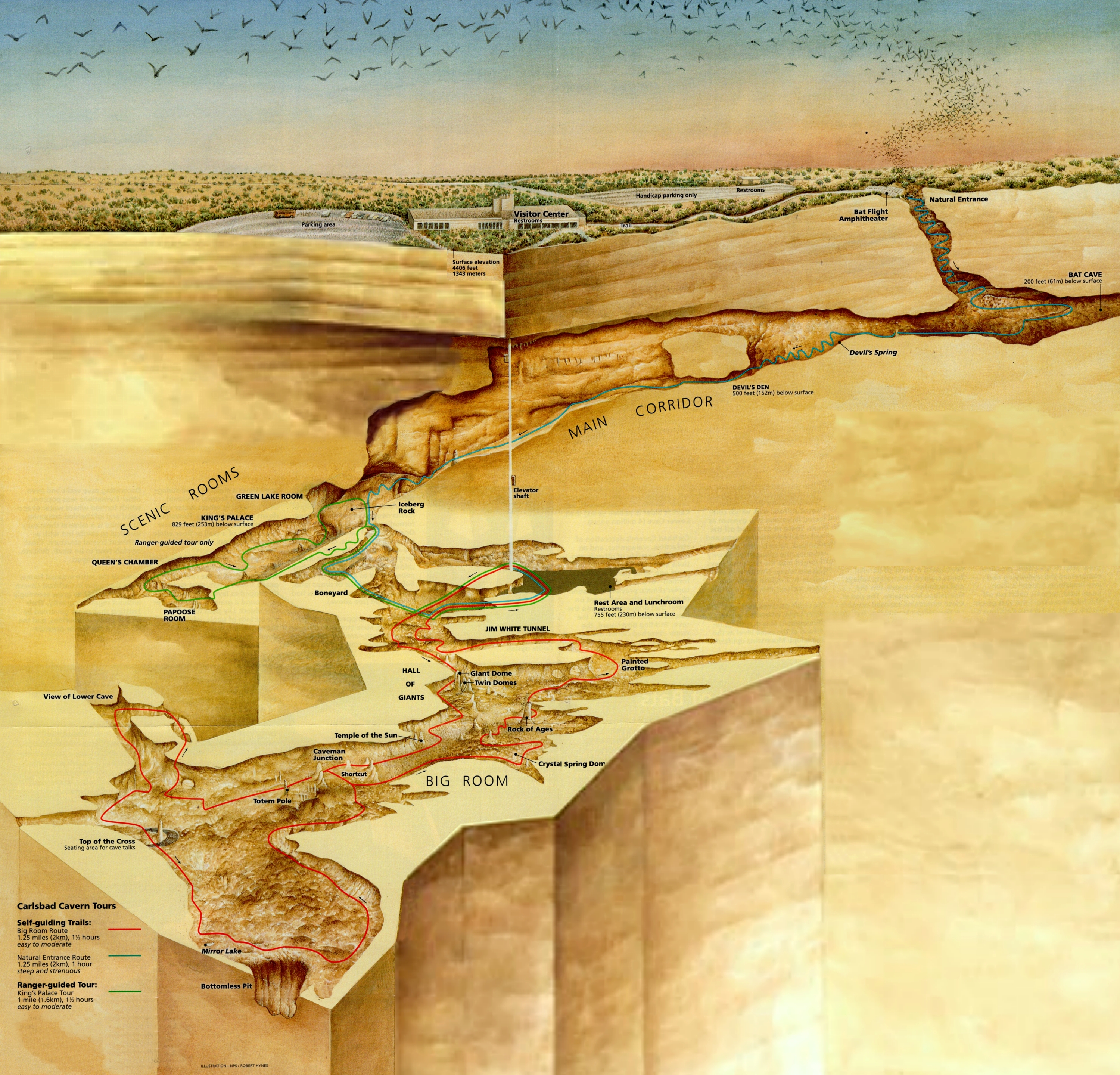
Moving right along, Carlsbad and the caverns are about another hour or so ahead. Carlsbad has a fresh coat of paint, new buildings and businesses, and is looking pretty good. The money and investment is coming from somewhere — maybe more of that oil and gas money?  It’s a town of about 32,000 residents and the Carlsbadians are doing pretty well from the looks of it. At Carlsbad you take a right onto highway 62. The caverns are actually located at White’s City, another ten miles along highway 62, you can’t miss it. (Mr. White was an early cave explorer who was responsible for getting things going.) Entering the national park, you drive another five miles or so through a winding canyon and climb out at the top of the hill to arrive at the main park visitor center.

Time for a little geology.

IMG_0810x

Some 262 million years ago everything you see out of the car window was under water. There was a large inland sea that covered this part of New Mexico and into much of west Texas.  Tiny organisms, sponges, and algae lived in that warm sea (we were close to the equator back then) and they (somehow) came to the decision to build a reef. They did that for a few million years, building up a huge reef by any standards, hundreds of feet thick. By and by climates and earth forms changed and the inland sea’s only little outlet to the wider global ocean was blocked. It dried out. Another sea came back some millions of years later and deposited sediment on top of the reef and the old seabed. That sea left, too. Millions of years pass and there was an uplifting and various contortions of the earth surface. The reef was re-exposed and acidic groundwater began to percolate down through the now-consolidated limestone of the old reef. Air pockets formed and enlarged and then greatly enlarged until, voilà, the Carlsbad Cavern cave system was born. It has existed for over 500,000 years adding, and probably destroying, various cave features and formations as time passed. The dinosaurs were here more or less from 200 million years to 66 million years ago when the big mass extinction took place. Some small mammals survived as did some flying dinosaurs.  The bats arrived at Carlsbad sometime later.

Speaking of bats. most of the people I spoke with were hugely impressed with the evening bat flight out of the cave entrance during the warm months. About a million of bats all exit the cave at the same time. I spent ten years exploring caves, large and small, back when I was an immortal being, about age eleven to twenty. There was no hole too small for me to wriggle into and I often wonder now how I survived. About every fifth “wild” cave is named “Bat Cave” and there is good reason for that — they are often full of bats. They pretty much ignore cave explorers but since we sometime occupy the same space — you get to see your fill of bats. I was never touched by one — they are amazing creatures. They eat tons of bugs each night. I have an old blooming Agave plant in my yard that is pollinized by bats at night. I just didn’t want to see a million of them. Maybe next time.

Bats live only in the upper portions of the cave near the natural entrance. You do actually see a lot of bat evidence as you enter the cave through the natural entrance. The creatures you see flying around the cave entrance are birds, so you get to see bird evidence, too.

IMG_0772

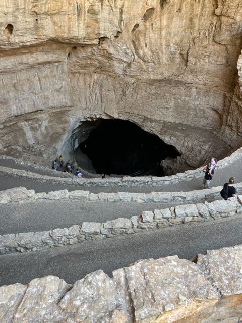
The natural entrance (as opposed to the elevator entrance) is a challenge. There are lots of switchbacks — God knows how many — as you descend into the cave. I think my knees might know how many switchbacks there were. You actually descend about 800 feet below the surface on the self-guided tour. The ranger-guided tour might go a bit deeper than that. You slowly lose sight of any daylight, and the walkway is damp and a little slippery.  Some people are helpful with flashlights or iPhone lights, but your eyes really need to adjust to the darkness as the park service has not provided much light to help you on your way. Do not attempt this natural entrance unless you are fully fit and steady on your feet. (Read that sentence again.) I am nearly 75 and a bit overweight with a fake hip and bad knees and I made it. There were people who were not managing it very well. I suspect there are some medical emergencies or rescues on occasion.

IMG_0773 (1)x

You will do a lot of walking. My step counter said five miles going in, touring, and then coming out on the elevator. There was no way I was going to climb back out the way we came in. It is over a mile from the beginning of the natural entrance to the actual cave rooms that you are there for, mostly in near darkness. There are handrails along the paved walkway most of the way.  But the hike in was an experience and I’m glad to have done it. It reminded me of my youth.

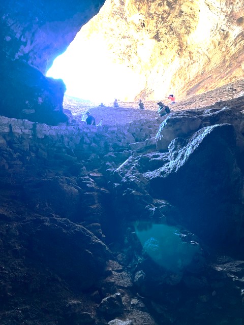
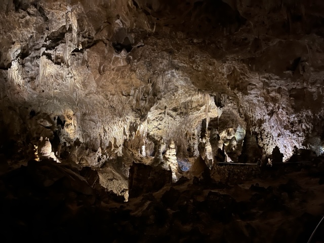
The cave is enormous and still being explored. They are still finding passages and rooms farther and deeper into the cave. The website for the park includes a map showing the routes and rooms in the cave that can be visited. You can’t really gauge the enormity of the largest room, aptly named “The Big Room”, and can’t always realize how high the ceiling is above your head. You can see on the map the “Iceberg Rock” which fell from the ceiling some 500,000 years ago. In reality, you can’t actually imagine something that large crashing down, so you look around at smaller things thinking that is what they mean — but you are walking on top of the gigantic rock for some distance. 

Carlsbad map

National Park Service

As you can see, you have a lot of a cave to cover. No strollers so you need to carry that sleepy toddler. Some parents had kid carriers like backpacks. The kids we saw were well behaved and none of them were having a bad day.

Photography Issues

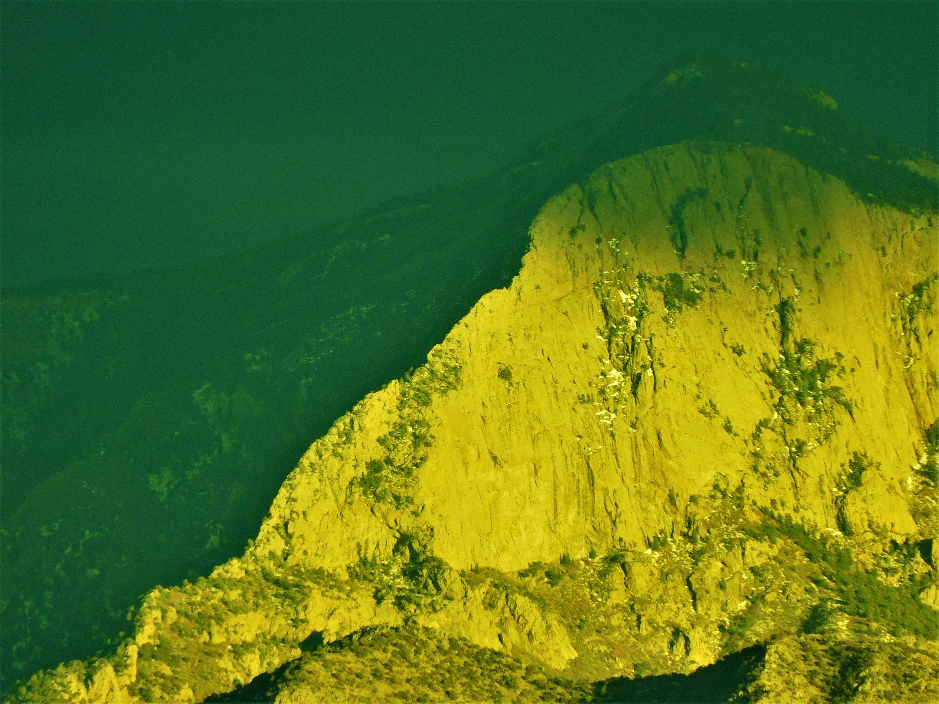
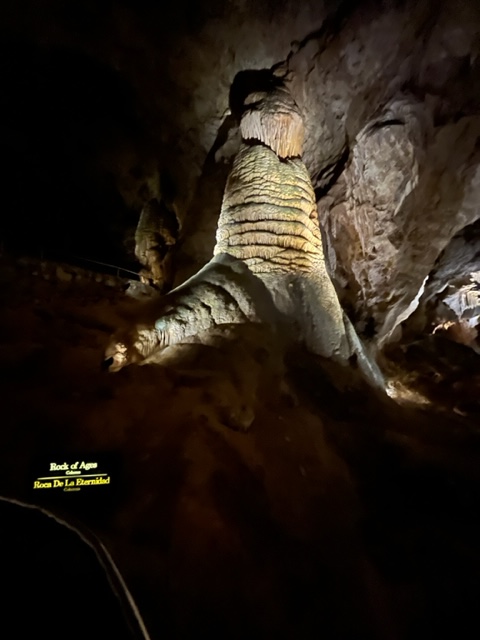
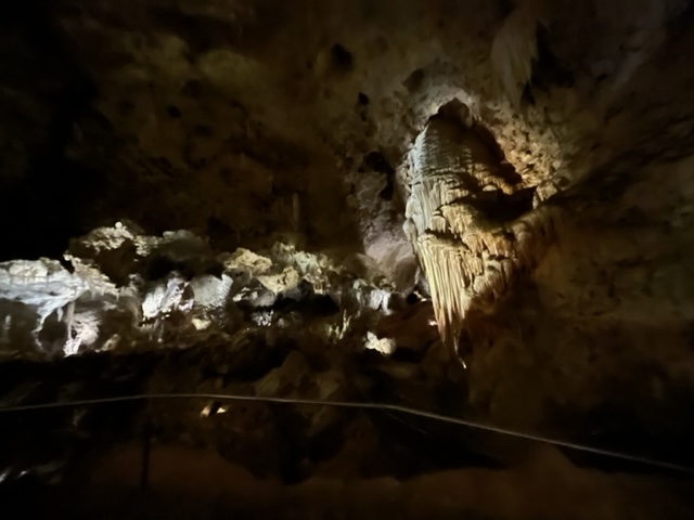
Photography in the cave turned out to be a challenge. I took my usual Nikon camera (Coolpix B600) and probably should have studied up or reviewed the settings, but I couldn’t predict the conditions. If I had all the time in the world, it would have gone better. This is not a typical photo situation. The contrast is so stark between the pitch black (or nearly so) and the spotlighted featured cave formation that the camera was not able to focus and manage the lighting as I was used to. I was disappointed in many of the photos I took with the camera. It worked well under lighted scenes, but I could not hold it still long enough keep the image from blurring in some extreme cases. Conditions allow you to take multiple photos but not fully manage the settings. The walkway was busy but not crowded. I kept about half of the images. I was able to work with some to improve the contrast or shadows.

DSCN6630x

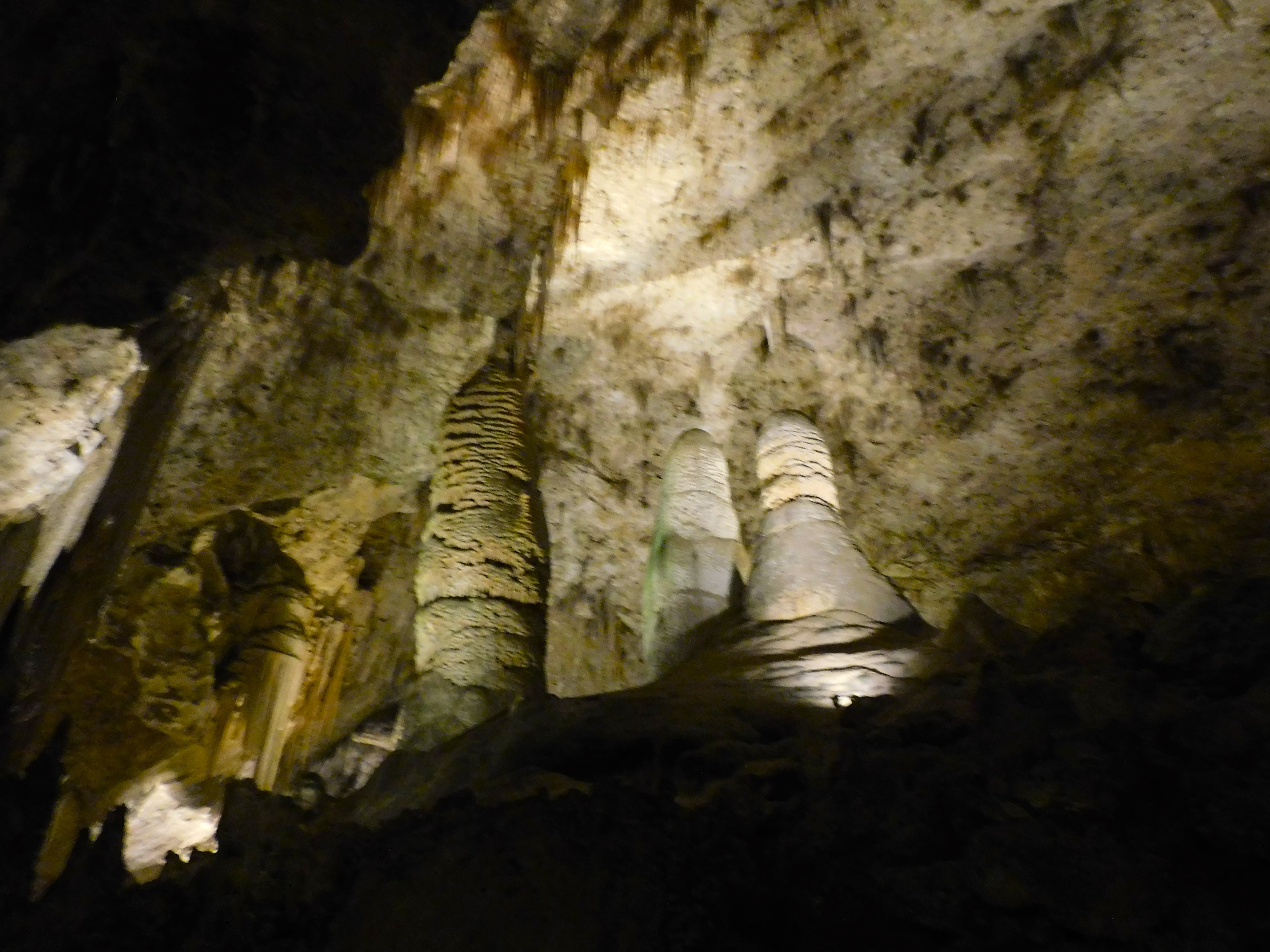
On the other hand, my iPhone camera was able to handle the conditions quite well. I was impressed with the quality. The contrast worked nicely and there was not a problem with blurring from movement.

IMG_0801

IMG_0803

IMG_0784

And, of course, a big thank you for such a nice Fathers’ Day trip from a wonderful daughter. 

Good to know tip…

When you decide to go to Carlsbad Caverns, you should go online and buy a timed ticket. That will give you a one-hour span of time to enter the cave. Once in, you can stay to tour the whole thing – the ticket helps manage the entries. You also have to pay an admission to the park unless you are in possession of a National Park Pass — like me.  When you enter the visitor’s center you are immediately confused by the enormous, and slow, line of people stretching back over 100 feet or more waiting in line to pay admission and get their ticket. If you have a park pass and already bought your ticket and have it with you (on your phone or printed), head over to the information desk to see if you need to get in the line. We were able to go through without waiting in line for an hour. But there is no one there to tell you or a sign that directs you around the line.
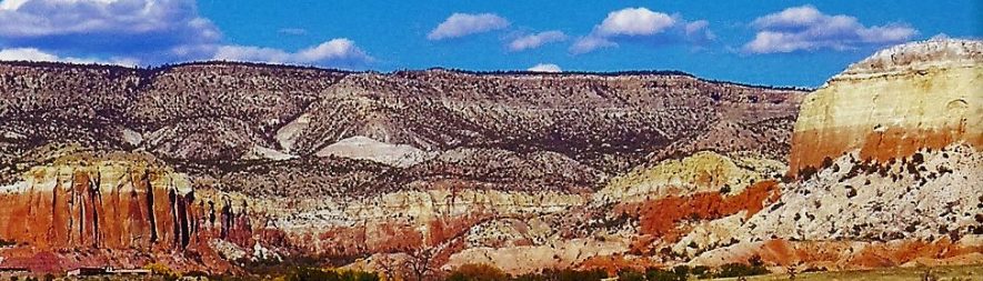
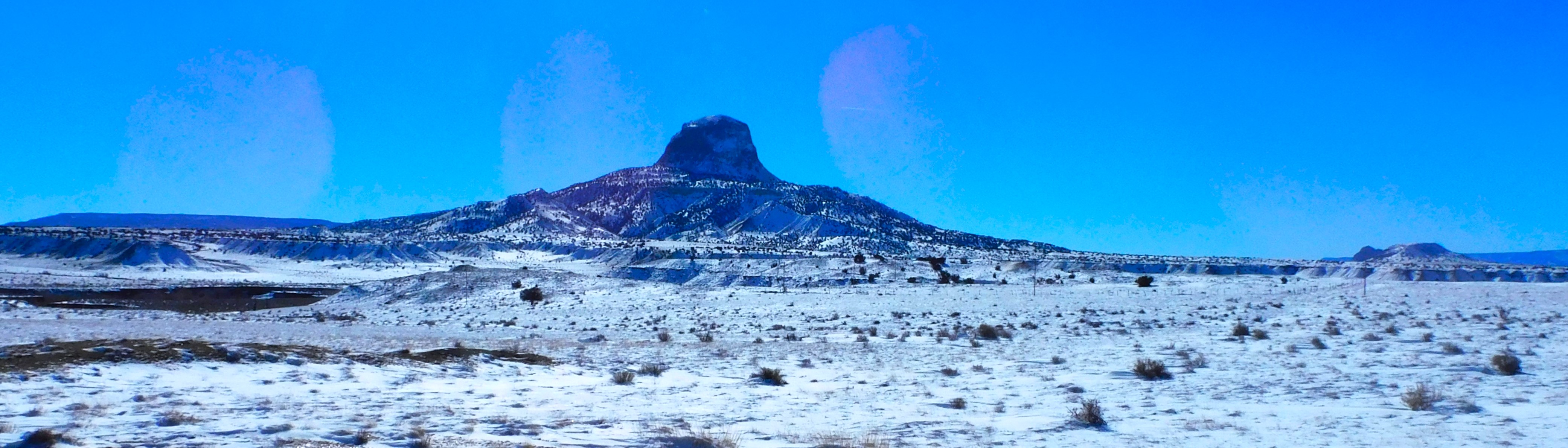
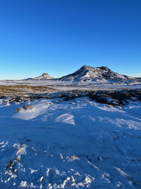
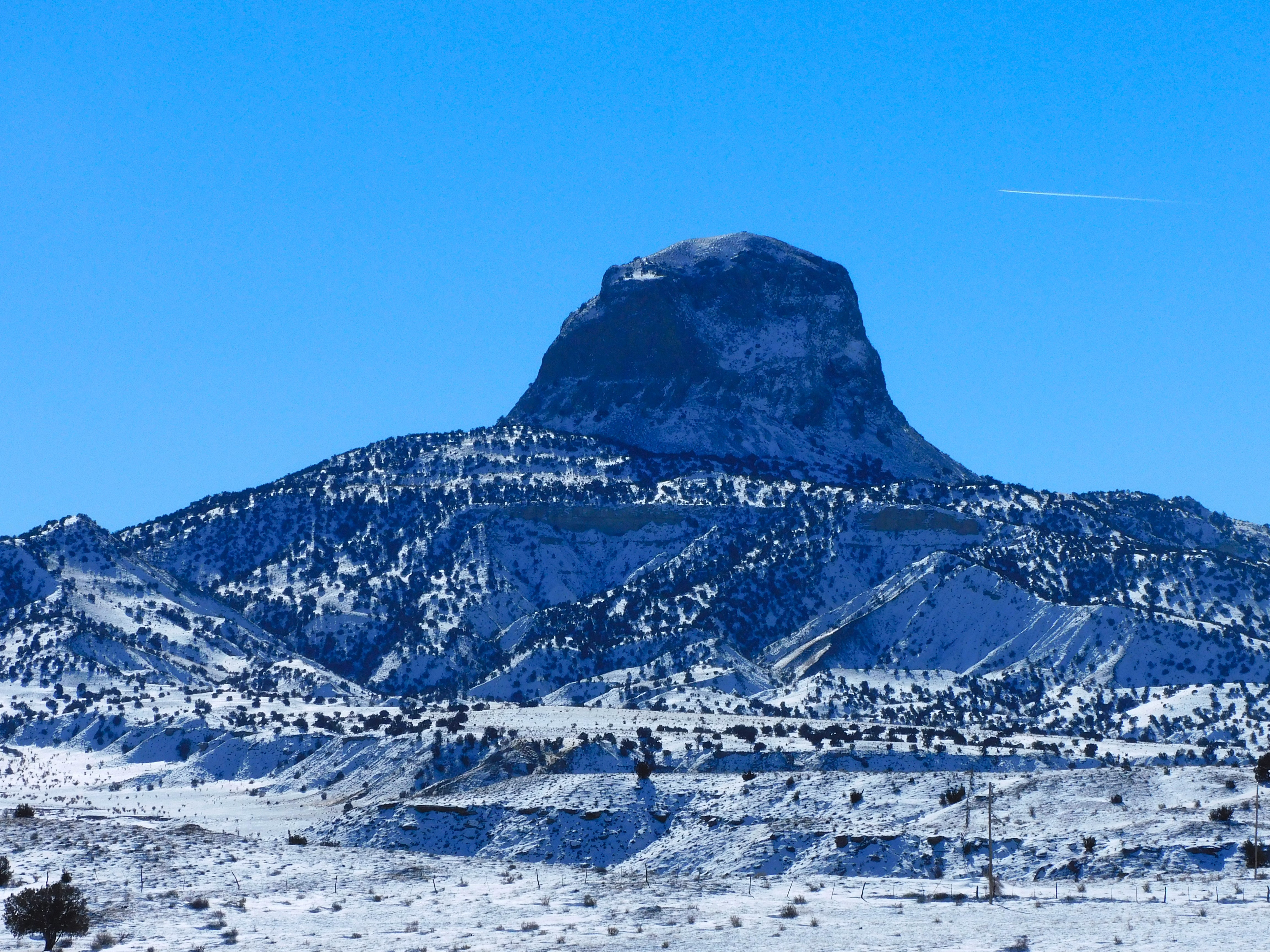
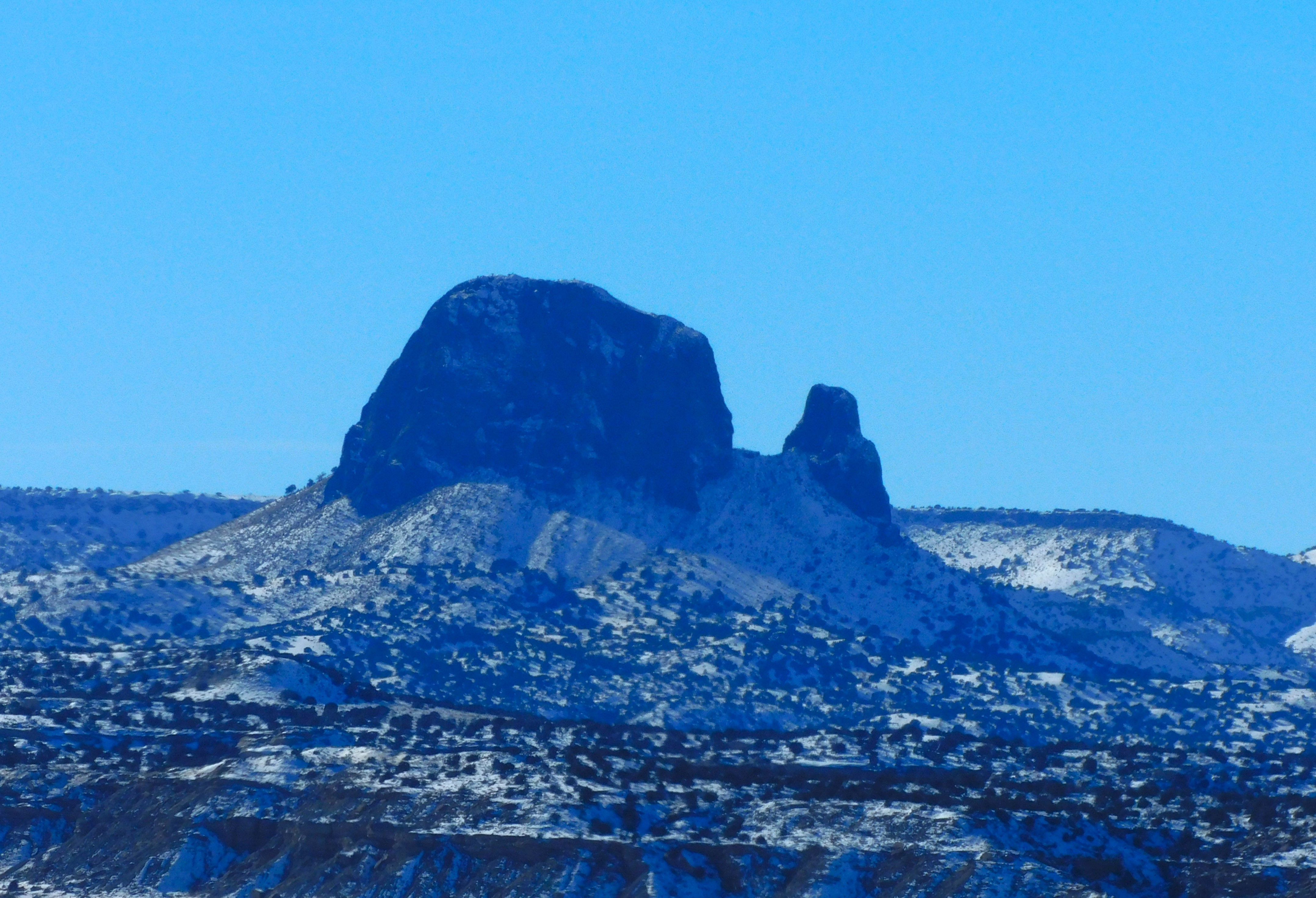
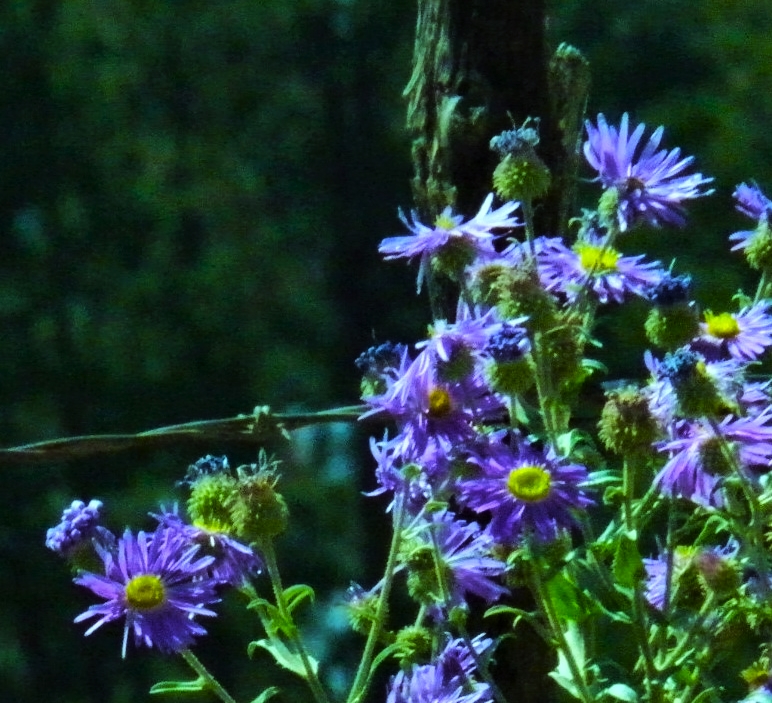
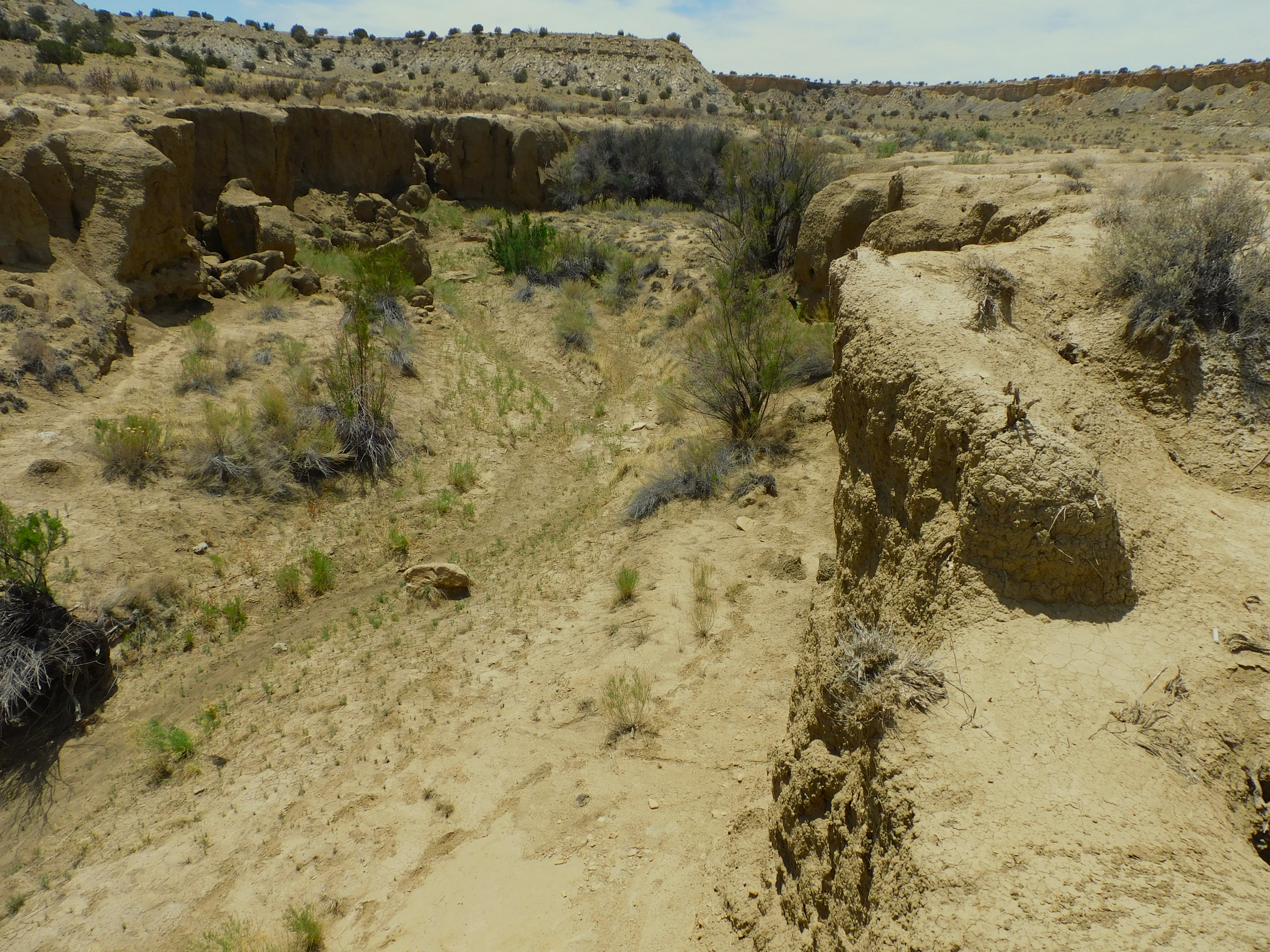
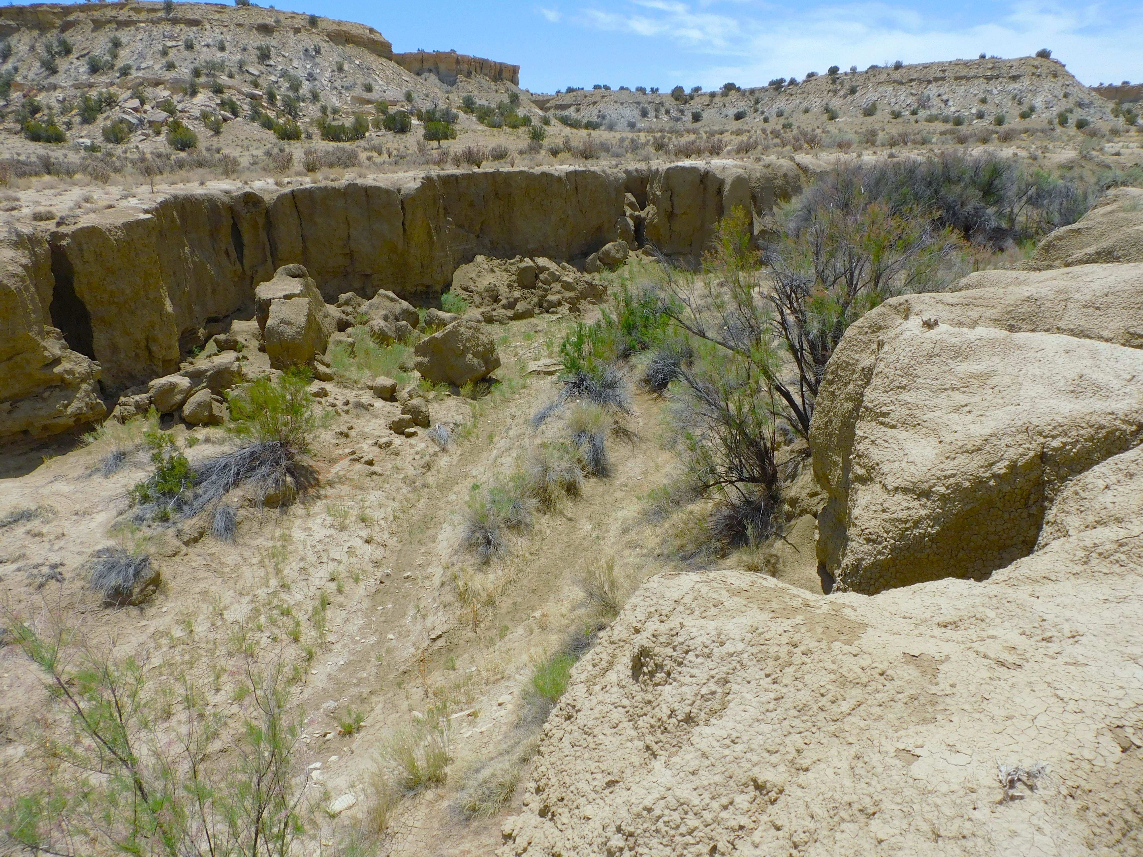
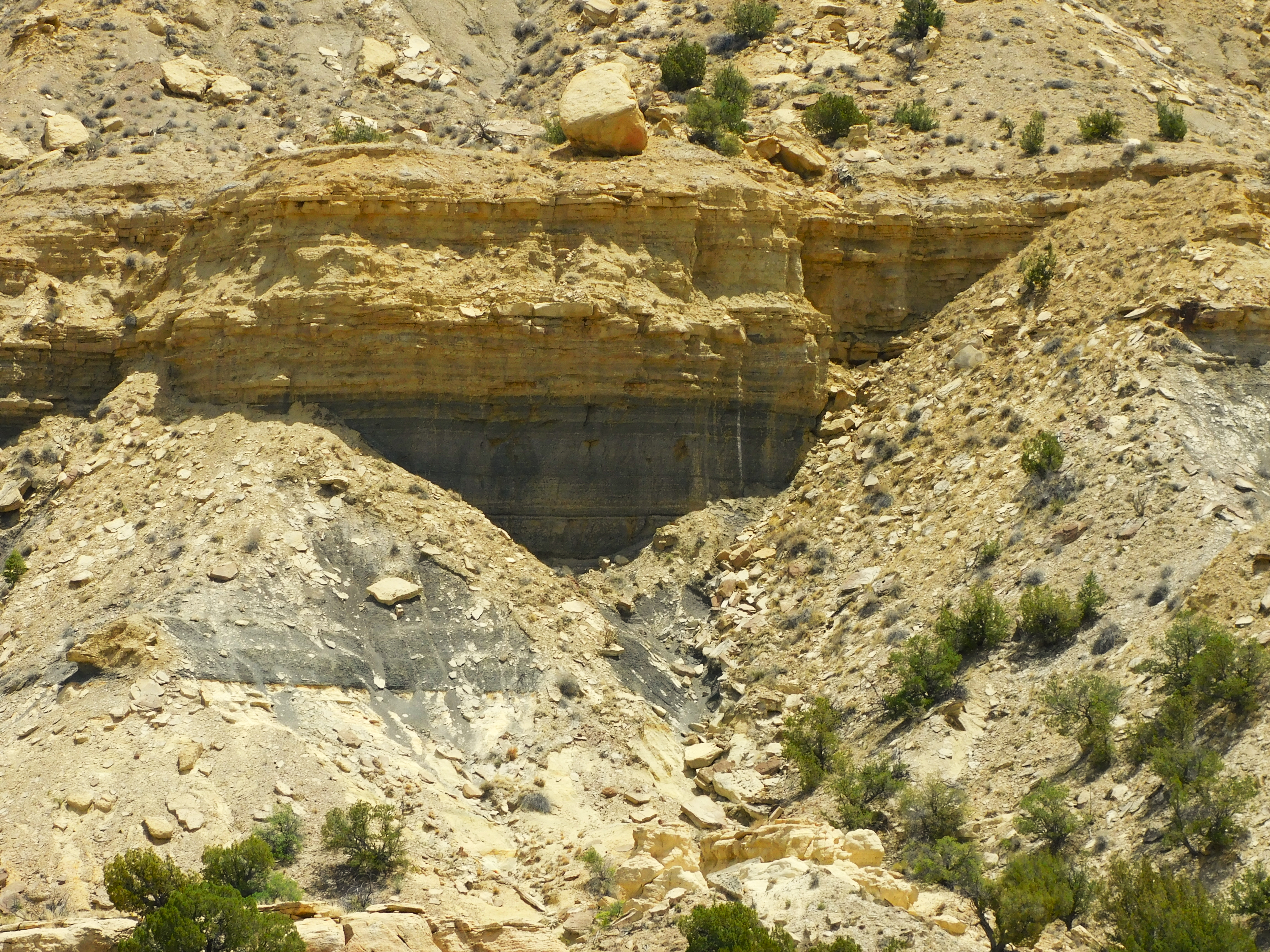
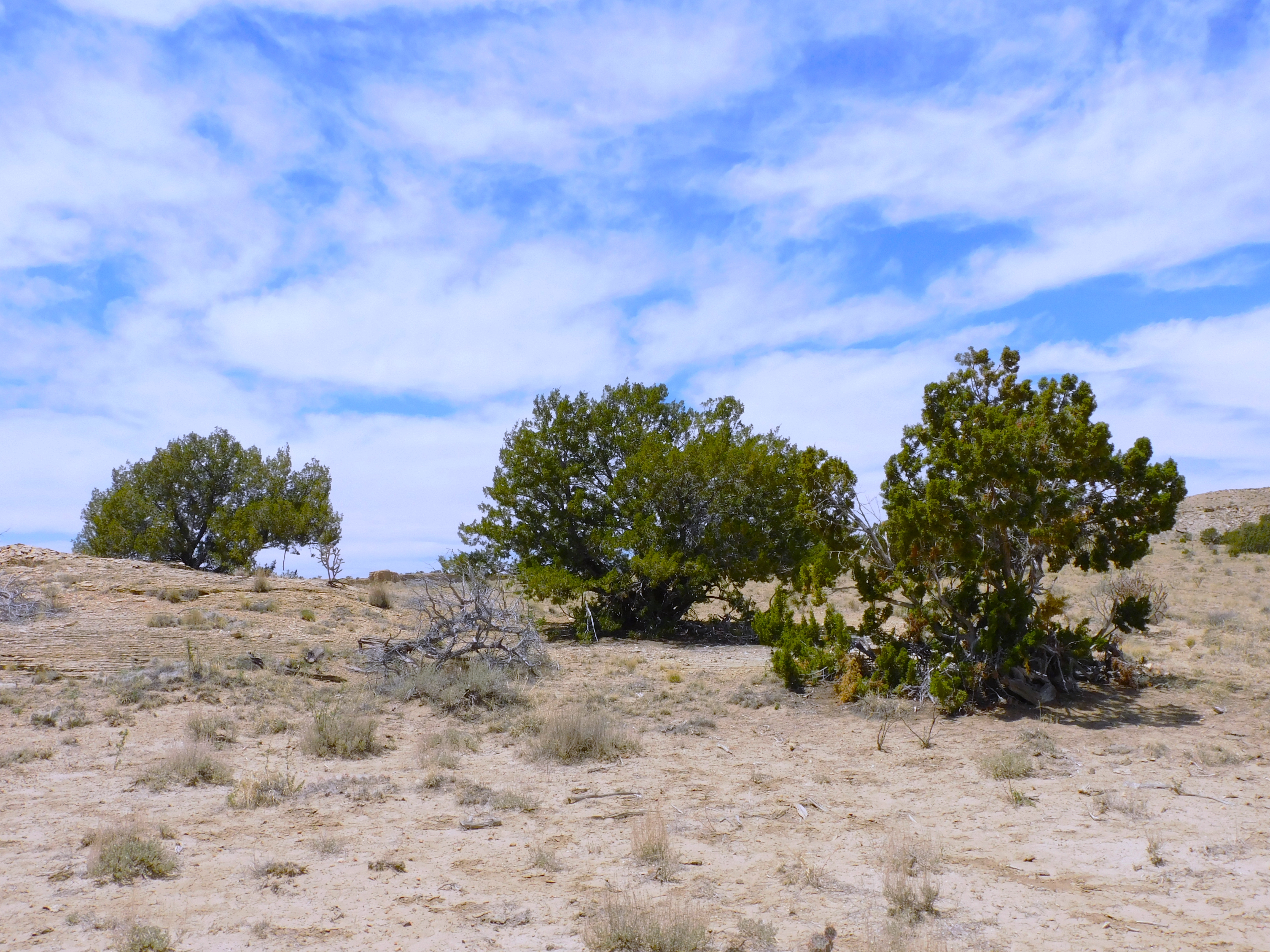
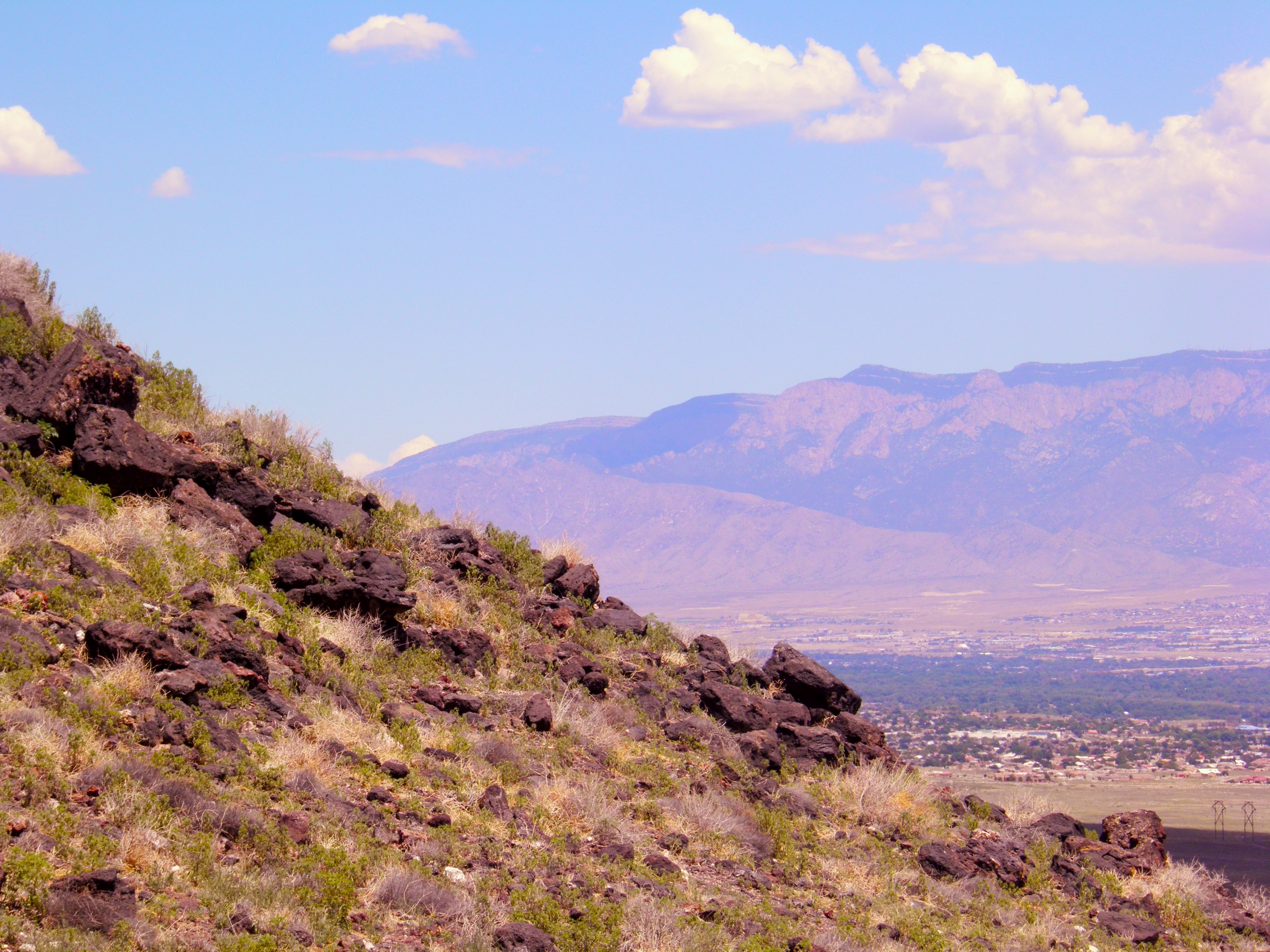
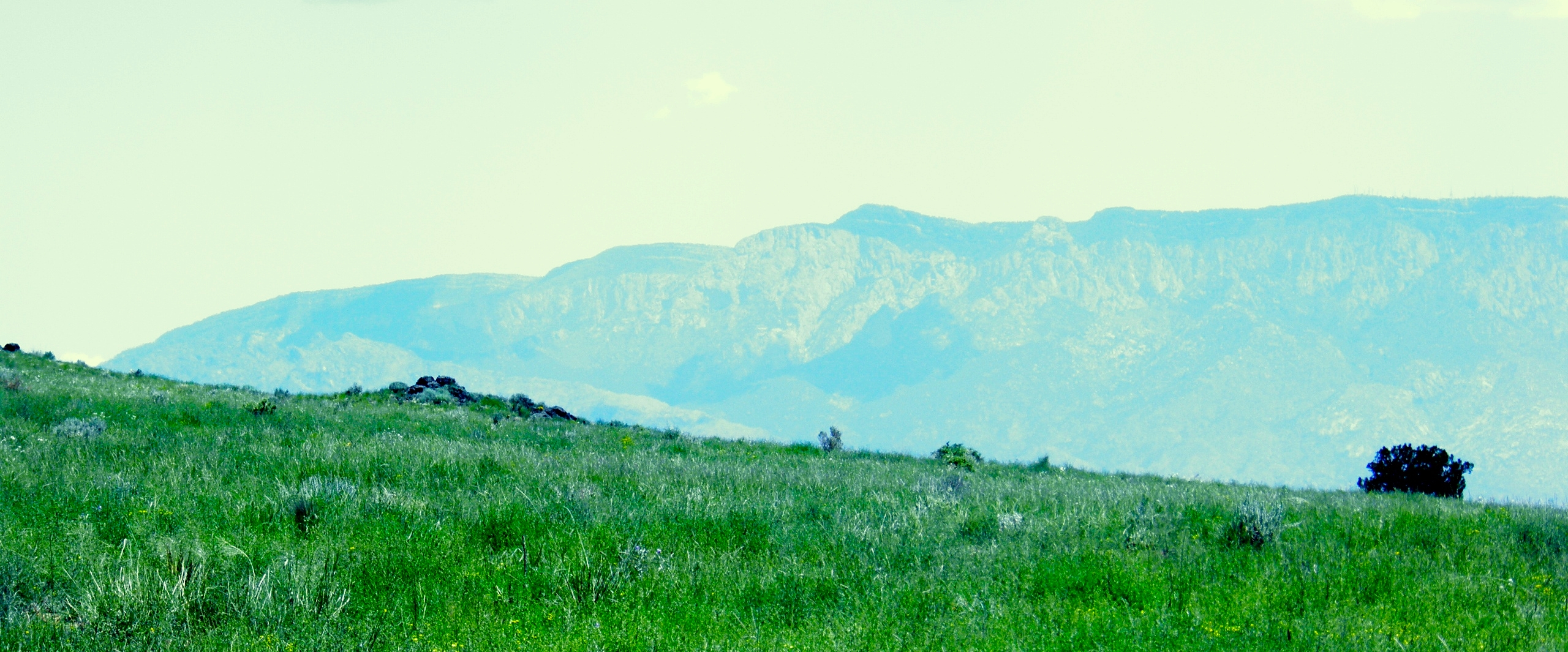
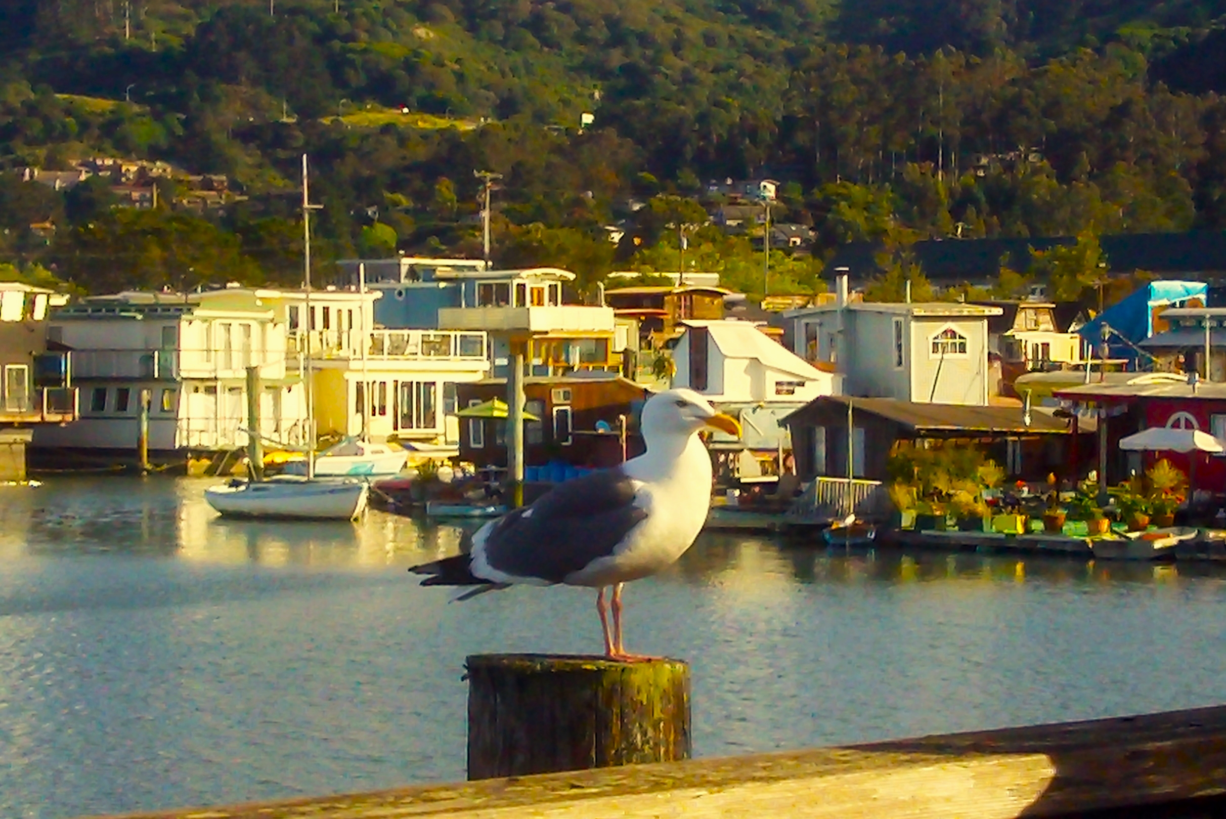
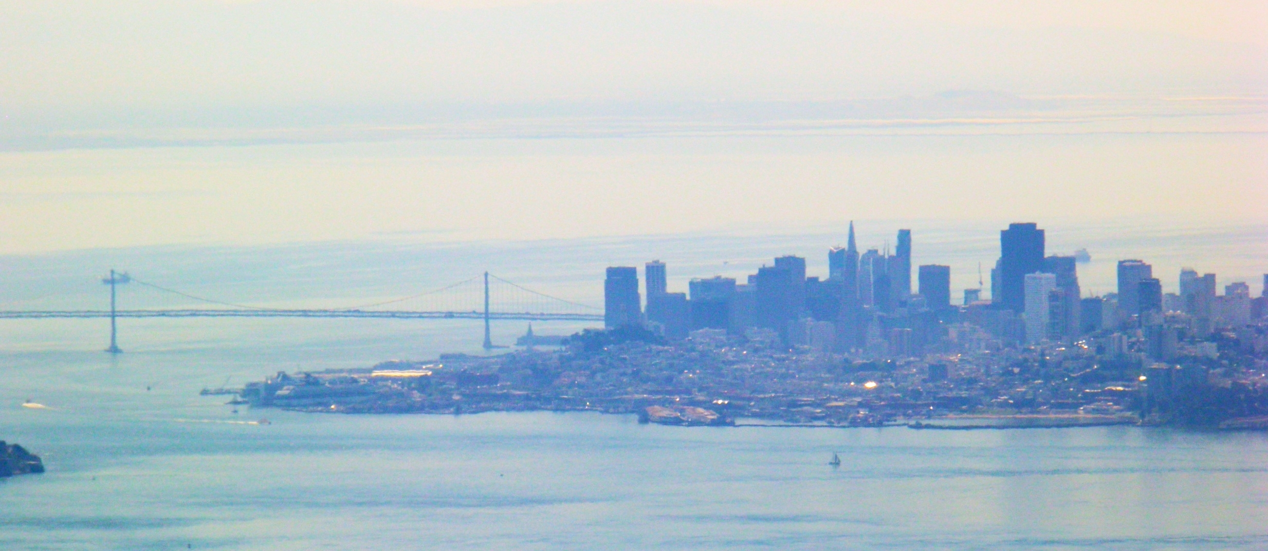
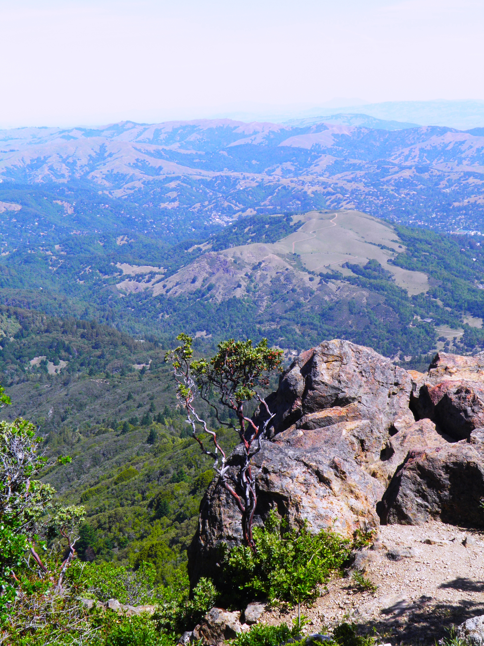
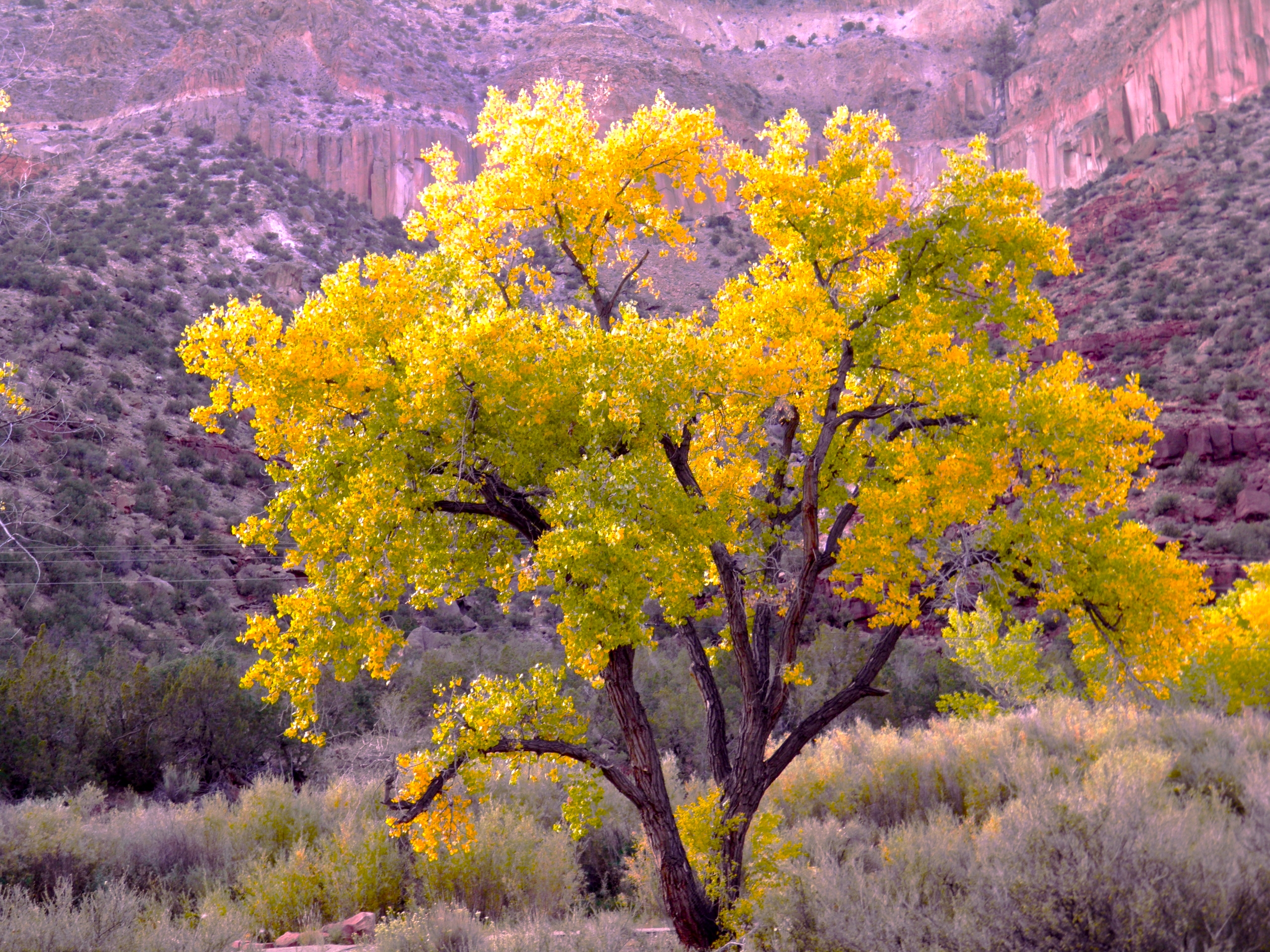
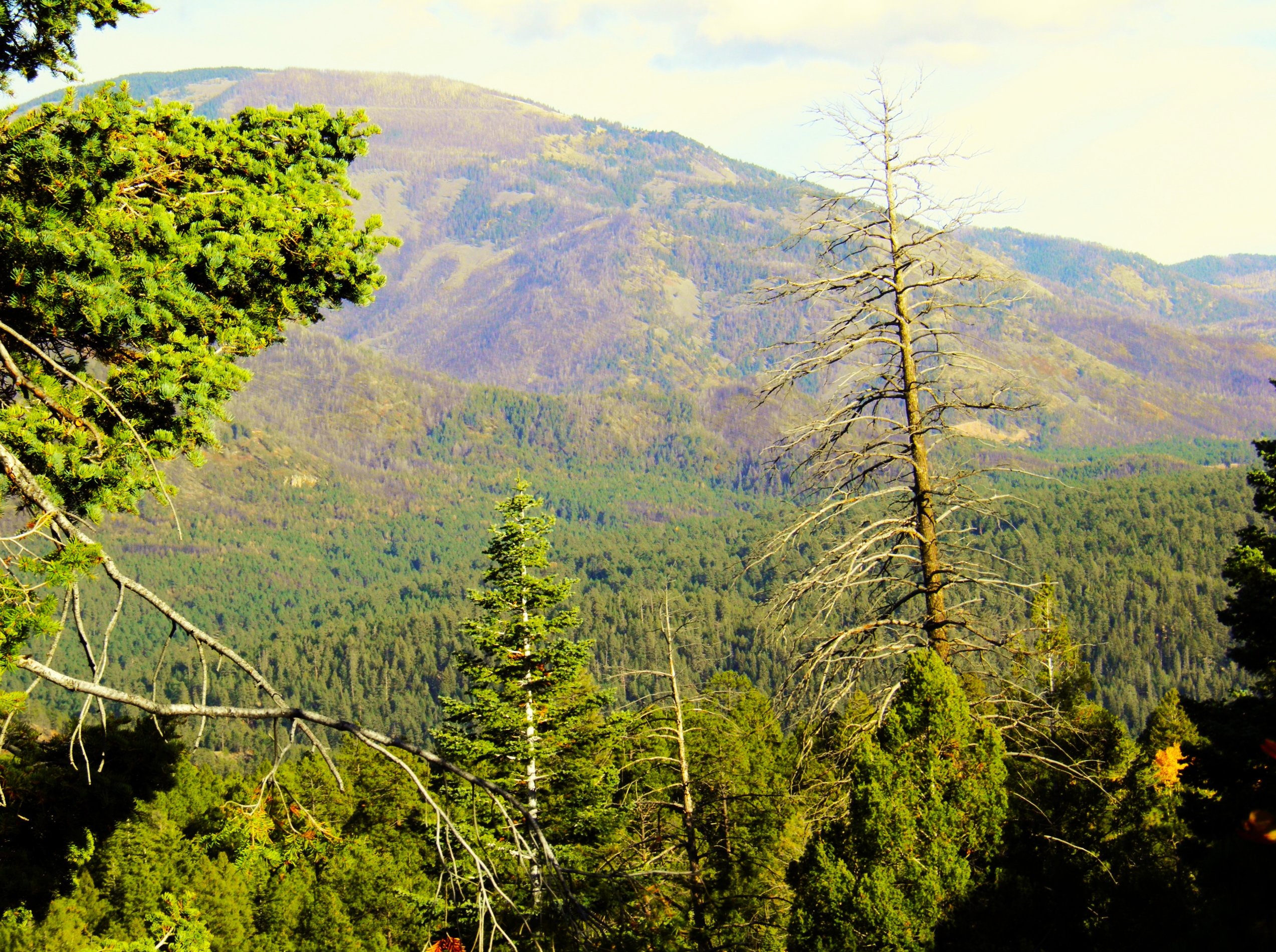
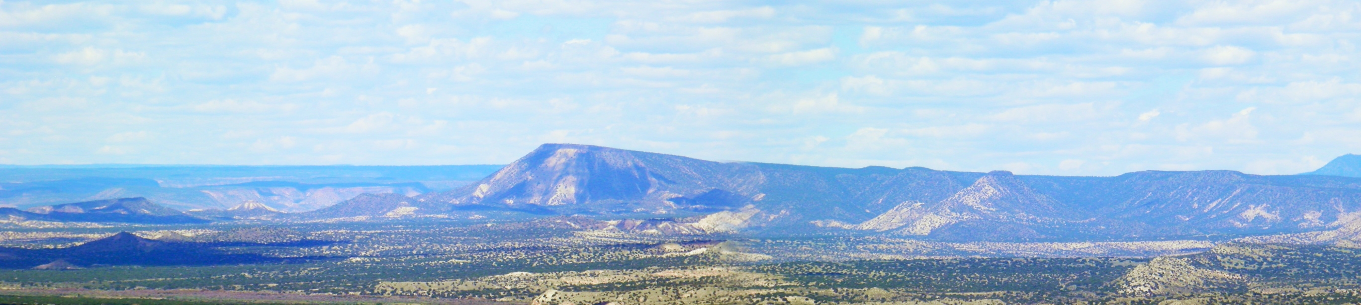
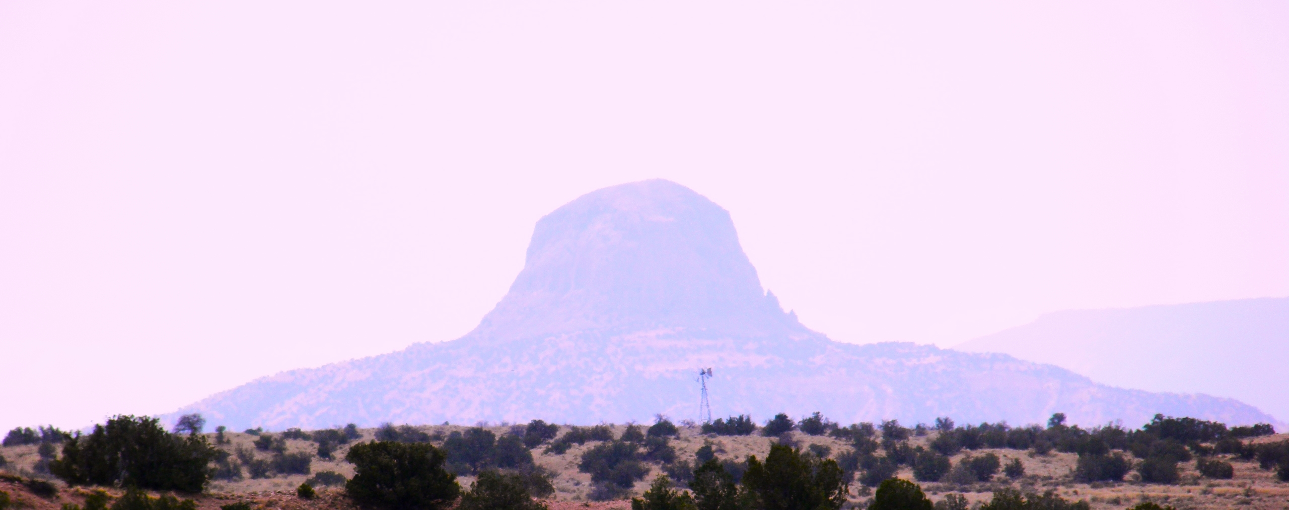
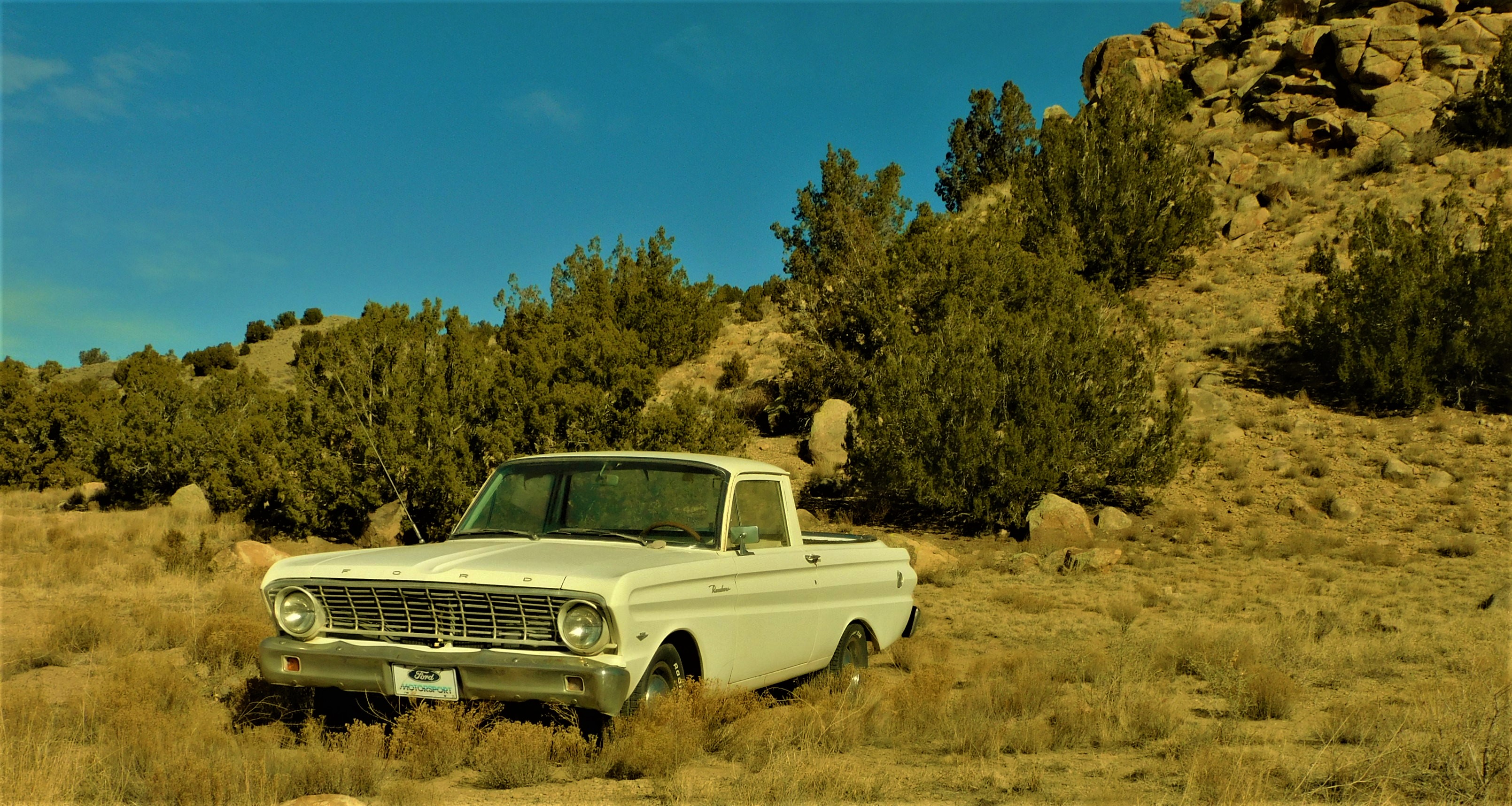
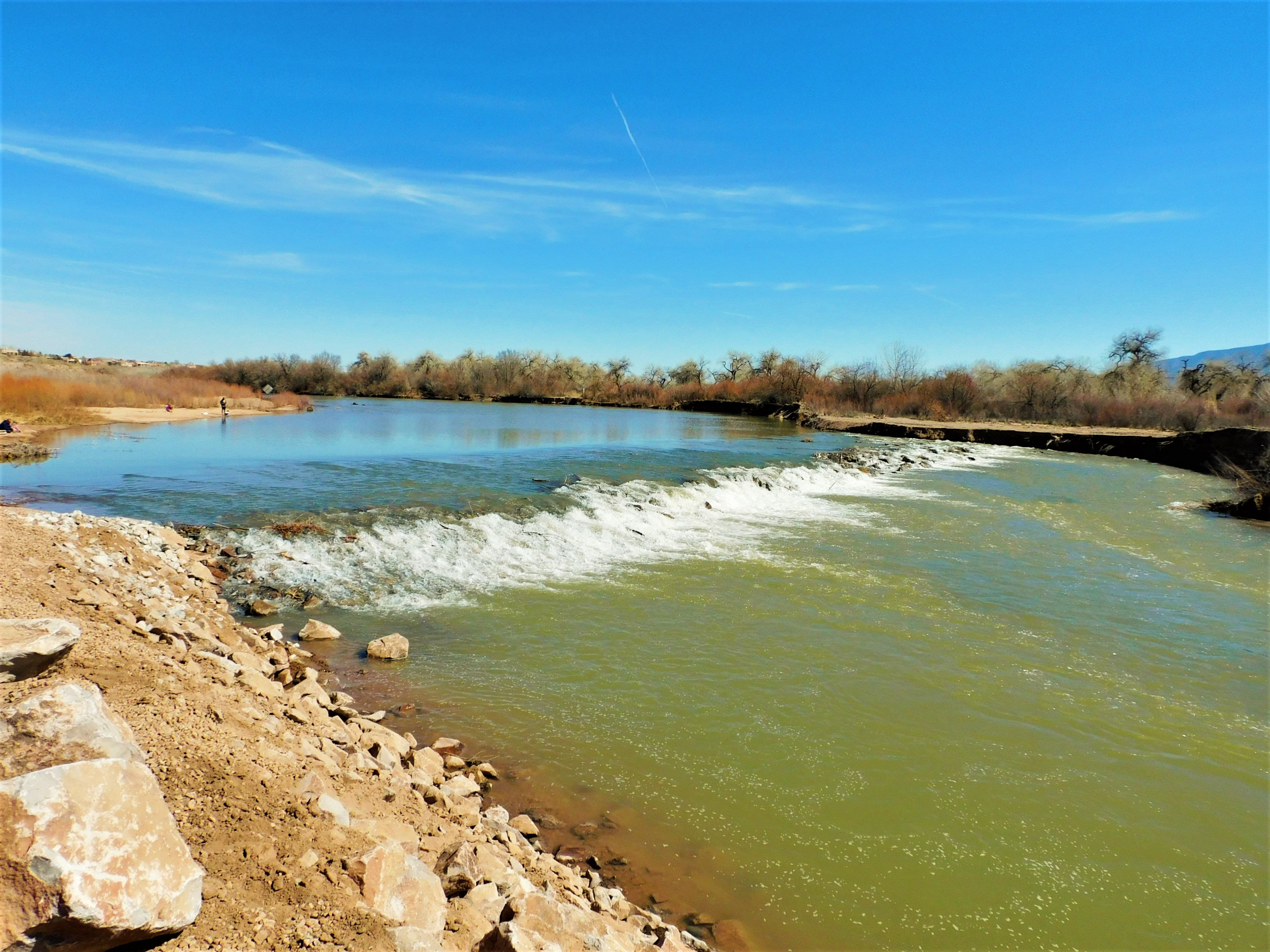
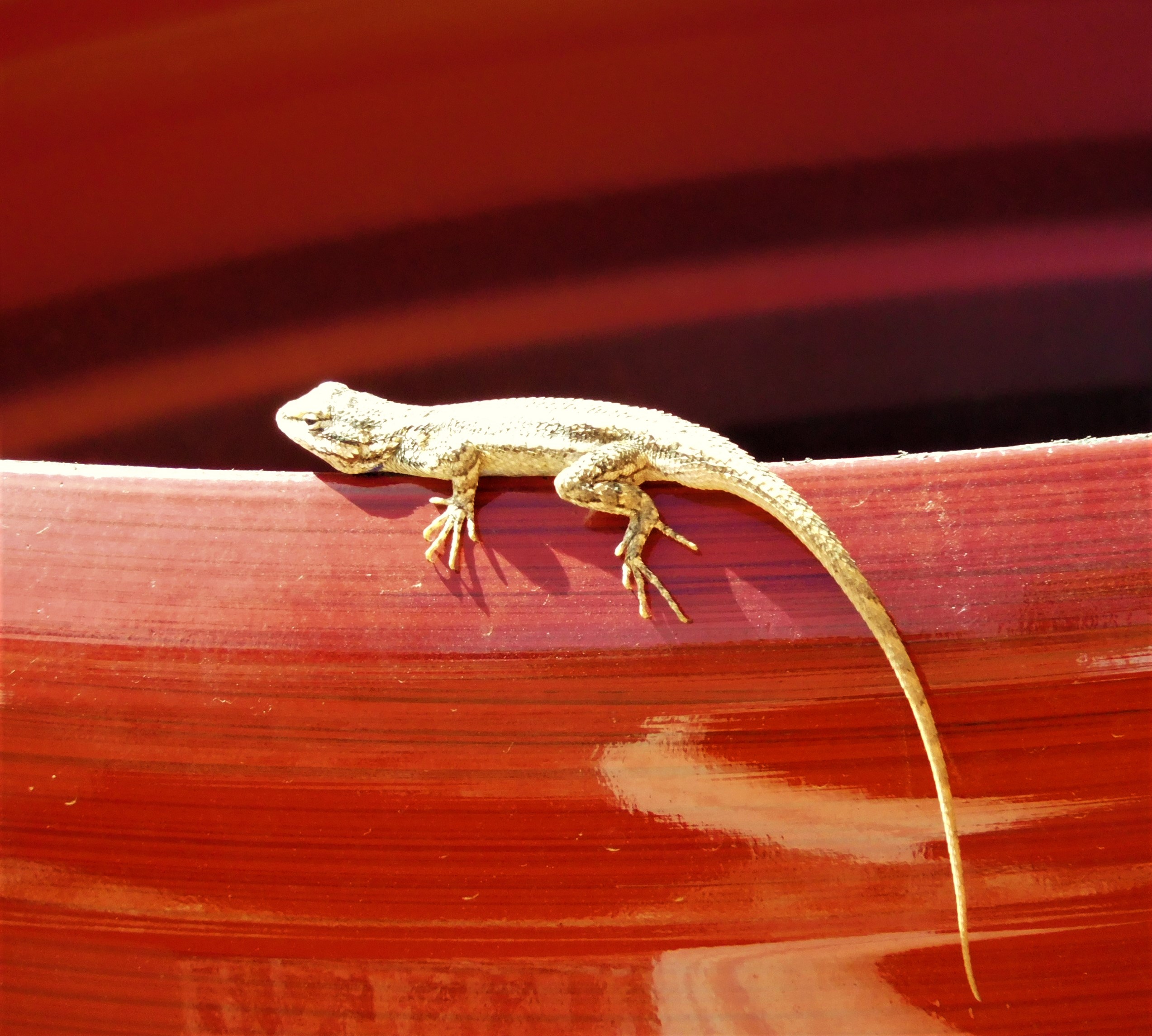
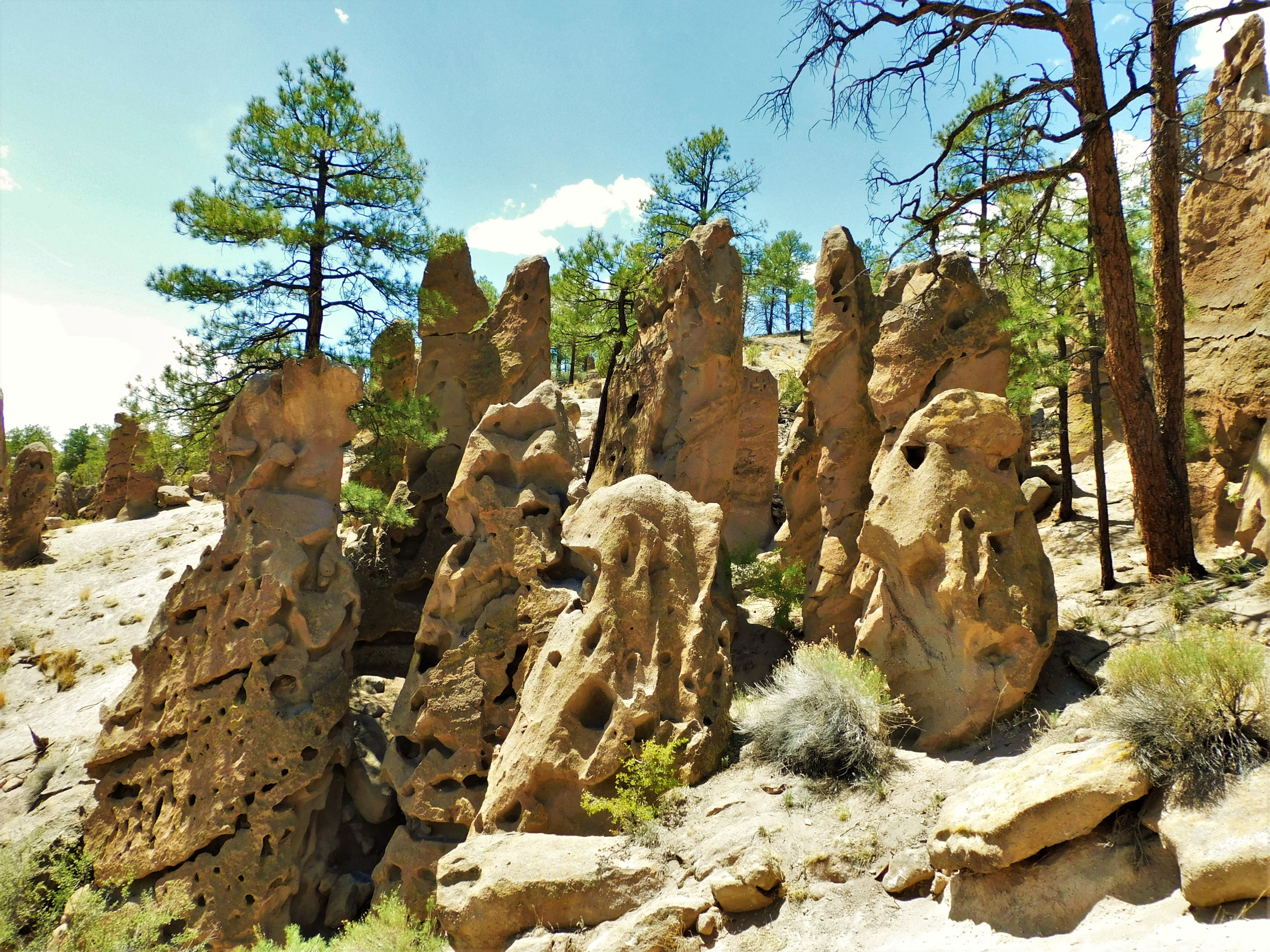
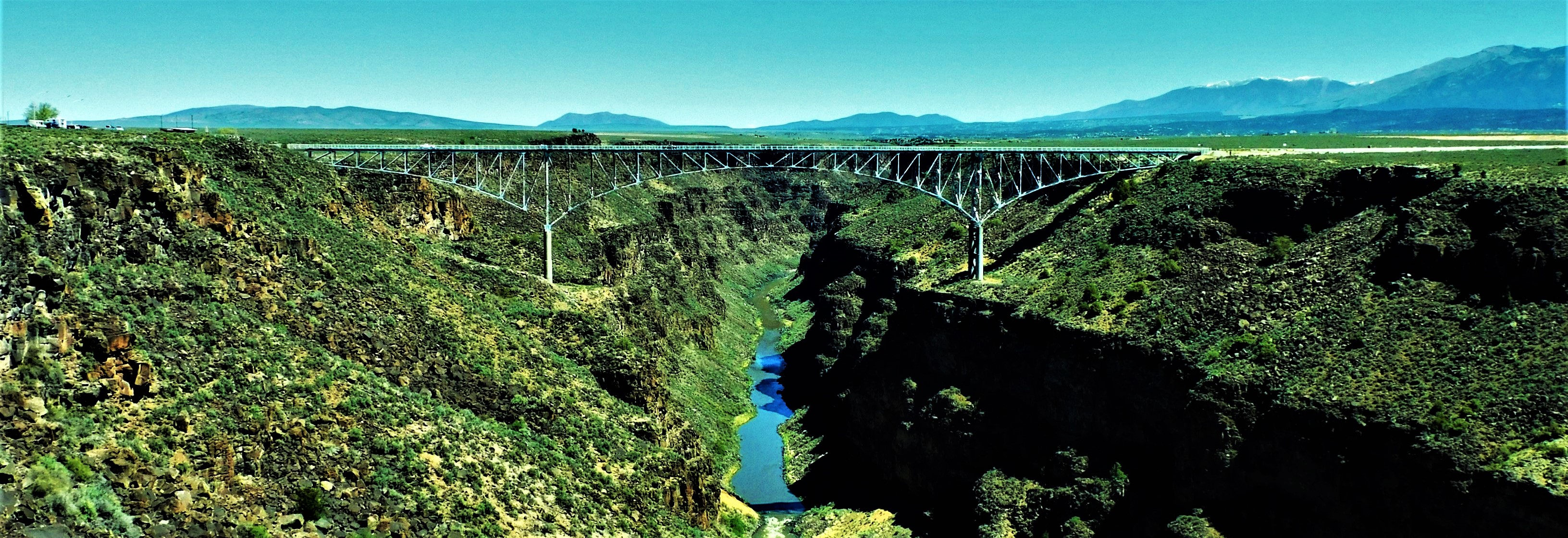
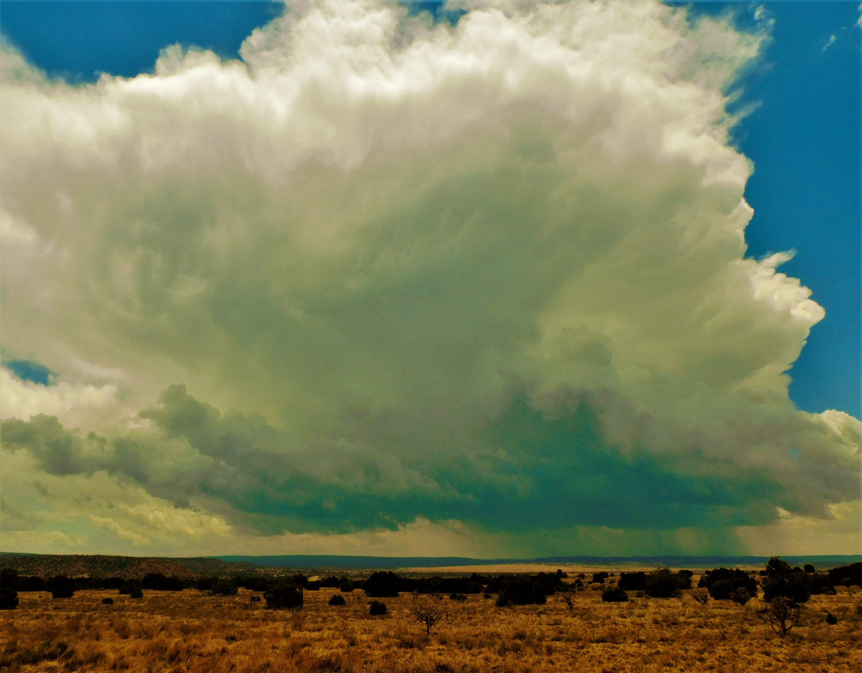
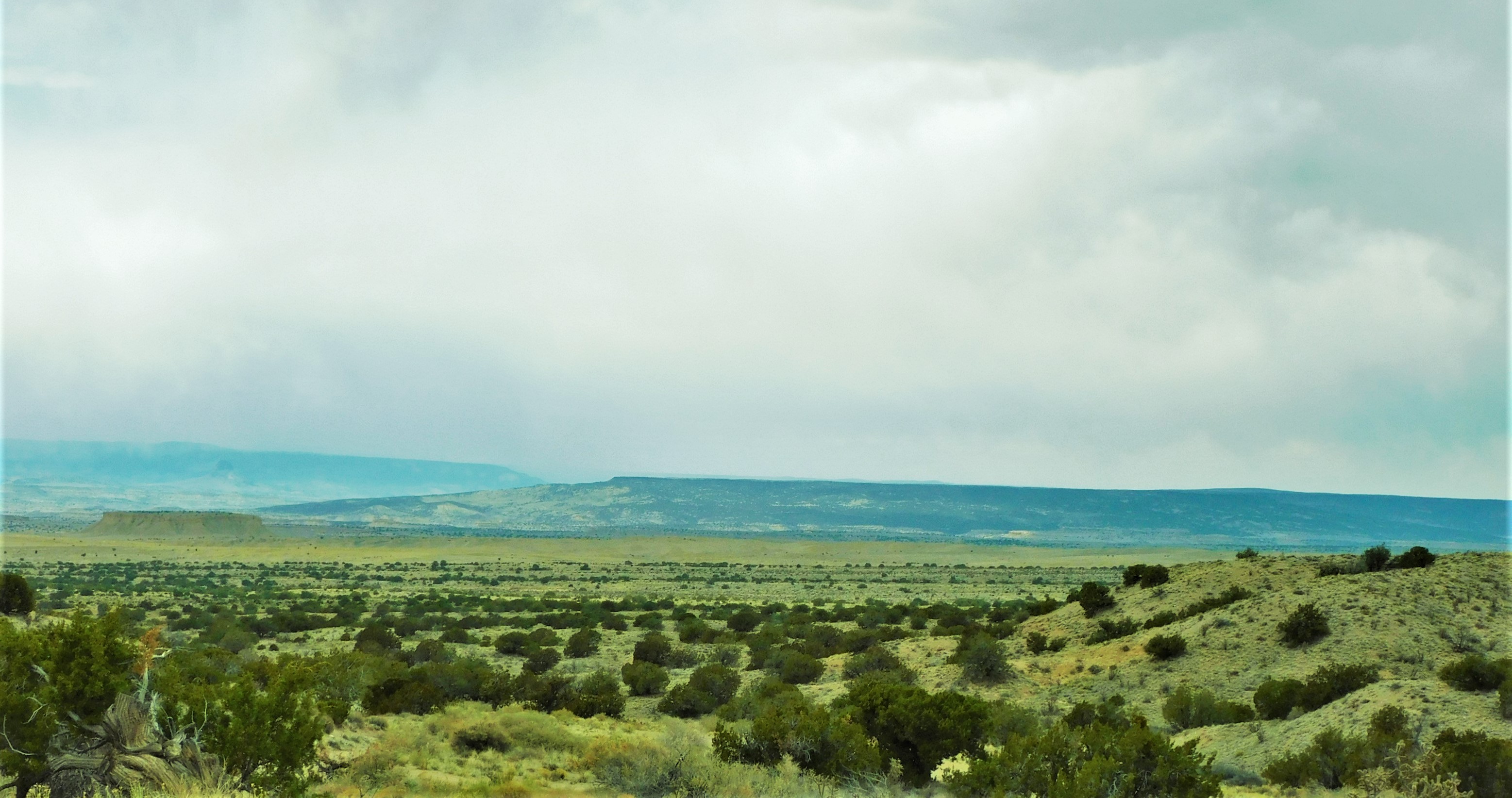
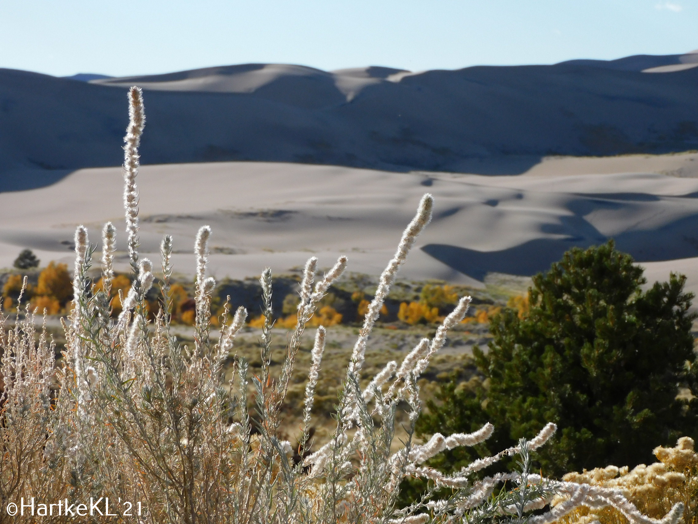
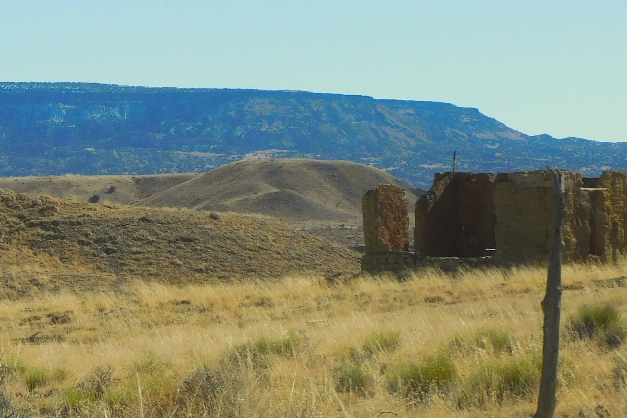
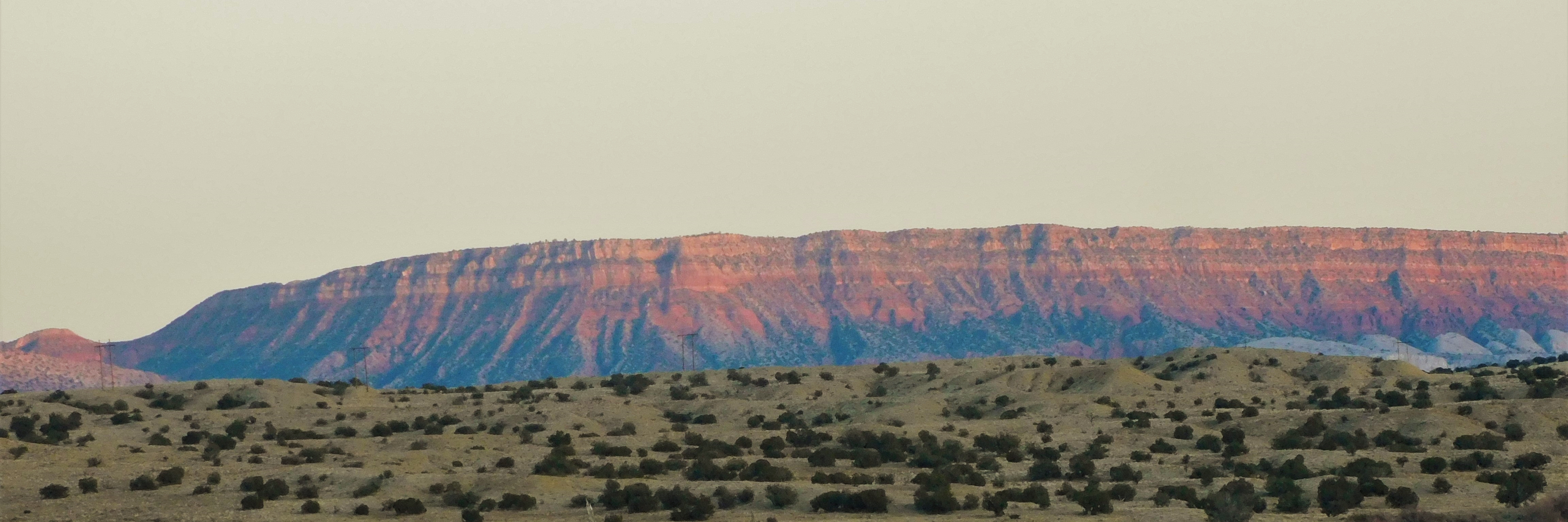
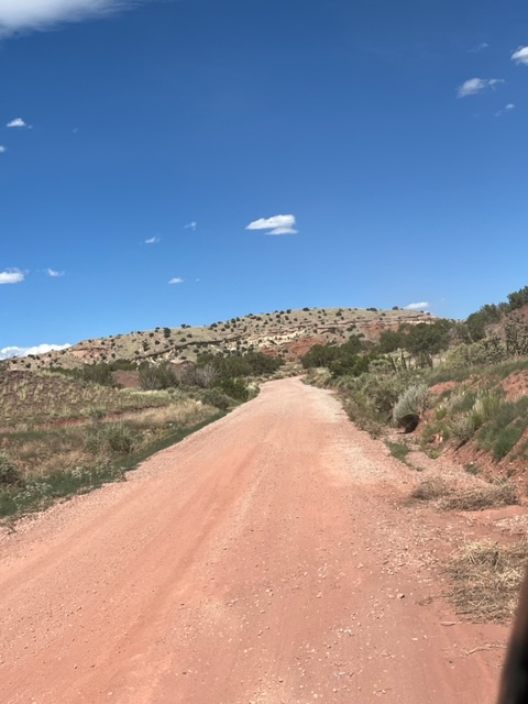
IMG_0776 (1)

  *     *     *  


Desert Opera


DSCN0182 (2)x

We are familiar with the desert colors:
the white and gray; the yellow and red.
And all the many browns. And the dazzling
cerulean blue of the sky. The far horizons
beckon and the muscle and bone of the land
runs beneath our feet and up the walls of
canyons and nearby peaks. All is revealed
by shades and hues of sienna and umber and
ochre — of vermillion and brick and rust.
The colors change with sun and shadow.

The mountains glow at sunset from granite and feldspar.
We know and embrace these desert colors.

Then comes summer and the monsoon rains.
We are always startled as the land is transformed
into a dozen shades of green.

DSCN5301x

The late summer wildflowers burst into
performance with the greatest show on
earth. Goldenbush and yellow Chamisa take
a bow, drawing our attention.

The pale pink Evening Primrose makes an encore
while Delft Blue Asters make their much-anticipated entrance.

OLYMPUS DIGITAL CAMERA

The shy Dune Dalea shows off her deepest Prussian
Blue starlets. The Apache Plume dances into view with
its ballerinas wavering in the summer breeze.


The once swooning Mallow makes
a dramatic orange recovery just as the choir
of Sunflowers and Ragwort and Tickseed begin
an oratorio of yellow light.


The villainous Belladonna, Nightshade dressed
in its finest skirts of blue and white watches
seductively from the shadows.

This drama is accompanied by the towering monsoon
thunderheads and the distant kettledrum rumble of
thunder and a spark of lightning on the horizon.
Autumn stands in the wings.  Benissimo! Brava! Brava!

DSCN3350 (2)x

     *     *     *     

Passing through Ojito Wilderness

The Ojito Wilderness is located north and west of Albuquerque south of highway 550. It is an arid desert sort of place on first glance but there are some interesting features. This is an area where some important dinosaur bones have been discovered over the years. DSCN4969a

I had an unexpected free day to go roaming and went up into the wilderness to get a few pictures of the distant wildfires but there were a few things to see at my feet rather than in the far distance. Here are a few images from in and around the Ojito Wilderness.

DSCN5008a

DSCN4980a

Even in a drought of historic proportions, there will be spots where there is a little water seeping through from below. This coreopsis colony indicates a damp spot on the desert floor.

This is sparse and mostly desiccated land. There is evidence of huge water surges through the arroyos and an occasional seep or trickling wet-weather spring.

DSCN4962a

Water doesn’t seep into rock so the runoff must be spectacular during heavy monsoon rains.

DSCN4987a

Occasionally you might find evidence of a makeshift shelter out in the wild backcountry. I have come across three over the past couple years. They range from carefully placed stone wind shelters complete with a hearth to a simple shelter in a rock crevice. This pile of rocks appears to be the remains of some man-made rock shelter, now fallen into a pile of rubble. The placement of the stones is unnatural compared to the surroundings and appears to have tumbled away from the outcrop. It’s likely to be the remains of an ad-hoc shelter, possibly for a shepherd or a hunter at some point. A lot of work went into it at the time.

There is a nearby arroyo with a prominent animal trail clearly marked as a common crossing point. The trail comes out a few yards from the shelter rubble. A concealed hunter would have an easy shot even with a primitive weapon.

DSCN4998a

It is a pretty unforgiving landscape but in the right season and with the right knowledge or experience, a hunter could survive.

The arroyo must carry a lot of water at times — likely some epic flash floods in rainy seasons.

DSCN4996a

DSCN4992a

In this area, the topsoil, if you can call it that, is mostly a mix of volcanic ash and sand. You can see that it runs deep — there are no prominent bedrock outcrops protruding from the arroyo banks, which are subsiding into the streambed. The soil surface looks sterile, but plants have evolved to live in these places.

DSCN5011

One interesting feature is the seep holes that develop near the arroyo. There are large cavities under the soil surface that seem to be five or six feet deep and connected. There must be flowing underground water at some point that erodes the cavity and then surface water finds a crack or an animal burrow and opens a hole, like a skylight, into the cavities. This is in otherwise undisturbed compacted soil, not in rock. Some of the holes are quite deep. Eventually the arroyo will erode into the cavity and peel off a large section of the bank.

DSCN4991

DSCN4990

The rocky canyon walls are eroding as well. Given the dry climate, this canyon terrain has probably not changed much in many centuries — but it slowly erodes. The old Clovis hunters probably would easily recognize this place.

DSCN4977a

DSCN4997a

The junipers seem to be able to survive in some places. They are slow growers and will live for hundreds of years. A century of growth might produce a branch as big as your forearm. You don’t see very many “baby” junipers. The pleasant climate might not favor establishing a new tree from seed.

DSCN5000a

There is an unpaved road (Cabezon Road) that runs along the south edge of the wilderness. There is really no difference whether inside or outside of the designated wilderness area except for the road and some evidence of off-road vehicle trails. The area here and near the White Ridge Bicycle Trails has been discovered by film production companies which might bring dozens or more people out for a film shoot. The area is fragile, and you can see their parking areas months after they have gone on to their next spot. The wilderness is protected from that heavy use.

Local Color – March 2022

I have been going through my archives lately, year by year, because I realize that I tend to always go back to a handful of photos when I need an image. That is sort of the low hanging fruit approach. I have thousands of photos that I chose to keep but still only use a small fraction. I will be posting a few more now that I have been burrowing through the stack. This is the first installment of a Local Color series that will lead me into some other, less visited, areas. I will try to do this monthly for a while.

New Mexico and its inspirational high desert is my normal haunt and I have lived here for over 8 years so that pile is pretty high. Before that I lived in Missouri, a green and bucolic sort of place on the Missouri River. Occasionally I break out and roam to other places and other continents. I’ll try to give some background as I go along.

OLYMPUS DIGITAL CAMERA

Me — in my natural habitat. In this case, one of the Sandia foothills trails in Albuquerque.

Speaking of habitat, here are a few of my neighbors…

OLYMPUS DIGITAL CAMERA

This is Buddy, my companion Gambel’s Quail. He was unlucky in love, so he turned his affections to me and followed me around for a couple years until he finally found a girlfriend.

OLYMPUS DIGITAL CAMERA

Shelter from the storm: the previous occupiers of my land built a doghouse, but no dog ever consented to live in it. Today it sits in my yard and the local bunnies use it as a rain shelter.

OLYMPUS DIGITAL CAMERA

Moon shot — coming over the Sandias. This is one of many front porch photos. I can see five mountain ranges, but the Sandias grab attention.

OLYMPUS DIGITAL CAMERA

On the east side of the Rio Grande, we have the Sandia Mountains — Spanish for watermelon because they turn red at sunset. On the western side, the west mesa, is a chain of small volcanoes. The river flows through the Rio Grande Rift that stretches from Colorado to Mexico — a giant tear in the earth’s crust over 20,000 feet deep…now filled with sand.

OLYMPUS DIGITAL CAMERA

The Sandias command attention from the entire region.

OLYMPUS DIGITAL CAMERA

The volcanoes are cinder cones that provide an interesting area to roam.  A great place for wildflowers in the spring.

I have a cousin in Sausalito across the bay from San Francisco that I visit on occasion. He lives in a boathouse community — about as different from my habitat as you can be. I haven’t been there for a while — need to go back. I think these were taken on the Marin County headlands and at the dock community.

584_2934 (2)x

Close quarters but unique living arrangement.

584_2932x

Still life with houseboats

OLYMPUS DIGITAL CAMERA

San Fransisco

OLYMPUS DIGITAL CAMERA

Marin County backcountry — from Mt. Tamalpais, I think.

OLYMPUS DIGITAL CAMERA

Not Godzilla

OLYMPUS DIGITAL CAMERA

Sausalito and “the city” in the background.

Back home again — more local color from New Mexico…

Albuquerque was a major focus and hub for the Santa Fe Railroad. The company had a huge maintenance facility, an employee hospital, and operational offices. The “Railyards” as the maintenance complex is called is the focus of city attention as it quietly waits for a new life.

584_2998x

The Santa Fe RR maintenance shops — a cavernous, abandoned structure awaits a new life.

Once you venture out of the immediate Albuquerque area there are many spots that call your attention. If you follow this photo blog, you will have seen some of these places before.

OLYMPUS DIGITAL CAMERA

The VLA – Very Large Array (west of Magdalena) is powerful enough to register a cell phone on Jupiter. Hasn’t happened yet.

Fall colors are usually spectacular.

OLYMPUS DIGITAL CAMERA

The Rio Grande Bosque Forest puts on a show with the ancient cottonwoods.

OLYMPUS DIGITAL CAMERA

Fall brings on the glory of the Aspens. This is near San Gregorio Lake.

OLYMPUS DIGITAL CAMERA

Fall color in Jemez Canyon.

OLYMPUS DIGITAL CAMERA

Puerco River country is largely empty now but was occupied by the Pueblo ancestors centuries ago. Some of this is Navajo land now.

OLYMPUS DIGITAL CAMERA

The Jemez Mountains are about a half hour away — mostly volcanic in origin.

584_3117 (2)x

My old Kodak takes “watercolor” photos – not on purpose, that’s just how they come out now. It is a flaw in the camera, but it makes interesting images. This is a view of the Jemez Mountains.

OLYMPUS DIGITAL CAMERA

The Jemez Mountains are a “sky island” surrounded by lower, dryer desert habitat.

OLYMPUS DIGITAL CAMERA

The Sierra Nacimento is a small range just west of the Jemez Mountains. They are the western edge of the Rio Grande Rift. (Sandias are the eastern edge.)

OLYMPUS DIGITAL CAMERA

A long view of Cabezon Peak — an ancient volcanic plug.

OLYMPUS DIGITAL CAMERA

Once in a while you will see vestiges of the old west.

I’ll stop for now. Most of these photos are from 2015 so you can imagine what there is still to come. New Mexico is the “Land of Enchantment” — maybe so, but it is inspirational.

–^^~~^^–

2021 Remembered

I decided to take a few minutes to review 2021 in pictures…. That proved to be a much larger task than I first thought.

These selections are more or less in chronological order with a short label or comment on the image or the day it was taken.

Waldo Canyon Road — January 2, 2021. We were suffering from pandemic cabin fever (a recurring theme this year) and decided to get out of the house and head over toward Madrid NM on the mostly unpaved Waldon Canyon Road. A landowner found an innovative way of using old tires to post “No Trespassing” signs.

DSCN2493 (3)

Near Cerrillos NM — The same day we took a wrong road leaving the little village of Cerrillos and found this gem of an old pickup truck. It looked to be well cared for but was sitting out in a field. You often find old cars sitting out in fields that look in pretty good shape for their age. They say that humidity is so low in New Mexico that nothing rusts. That is not totally true.

DSCN2511 (2)

Rio Grande – Siphon Beach — We took a mid-winter walk in February along the trail that follows the Bosque Forest along the Rio Grande. This is Siphon Beach where a weir is constructed across the river to maintain a water level of a certain height. We use an ancient irrigation system here that diverts water from the Rio Grande through acequia canals that send water to agricultural fields. Surplus water is returned to the river and used in irrigation systems downstream. This system was introduced into Spain by the Moors from North Africa and then used in Spanish colonies. The Pueblo Indians had similar irrigation canals. DSCN2744 (2)

Floaters in February — Siphon Beach is a put-in point for floaters on the Rio Grande. 

DSCN2745 (2)

Resident Lizard — Spring has sprung and the resident lizards are soaking up rays. They have to be vigilant to watch for the Roadrunners. This guy is in my courtyard and fairly safe.

DSCN2820 (2)

Sandia crags — One of many photos I take of the Sandia Mountains directly across the Rio Grande valley from my house. I have a good view from my porch where I shoot most of these pictures. On this day the clouds and setting sun were alligned in a way that set off the sharp crags of the Sandias’ western slope. Some cliffs ate 800 feet high.

DSCN2585 (2)

Camposanto – Fairview Cemetery, Albuquerque — We visited the old Fairview Cemetery in Albuquerque that is the final resting place for thousands of local people over the years. There is one section for military graves — regimented even in death in straight and stoic lines. The Hispanic graves are located nearby and display a wide array of decorations and are frequently tended, raked, and redecorated by family members. In general, there is not much grass in New Mexico cemeteries, which serves as a major difference from what I was used to in the Midwest. There is a large section of this cemetery that is covered in grass and shade trees. Some of the prominent families are buried there. One interesting section was apparently an area designated as a plot for members of the Bahai faith. I was not aware that we had a Bahai community in Albuquerque. This is a city cemetery. Country cemeteries, called Camposantos, are interesting and well maintained.

DSCN2785 (3)

Fairy Chimneys and Goblins – Jemez Mountains — One of my favorite walks this year was to explore the Goblin Colony up in the Jemez Mountains. I was not sure what to expect and it left me speechless when I got there. It was not an easy hike down a steep gravelly and forested slope. you have to descend from one tree to the next to stay upright in the loose soil. The Jemez Mountains are volcanic relics of a super volcano that rose up and collapsed into its magma chamber three different times over millions of years. The volcano covered the area with thick deposits of ash that solidified into Tuff, a sedimentary rock of igneous origin. Tuff, being made of ash, is fairly soft but it erodes into strange shapes. These vertical shafts are called Fairy Chimneys. The tallest one is probably 20 feet tall. These are all natural formations.

DSCN3319 (2)

Goblins on parade — The same slope has hundreds of Goblins, mostly facing downhill as if they are watching something. You can imagine distorted facial features on the stone formations.  There is no real marker for this place. You just have to know that it is there.  A lot of New Mexico is like that. DSCN3309 (2)

Rio Grande Gorge — In the spring, spurred on by pandemic cabin fever, we headed up to Taos and spend a week exploring the Rio Grande del Norte National Monument, one of the country’s newest monuments. The Rio Grande flows through a gorge that cuts a 700-foot-deep trench through the Taos Plateau. Driving across the plateau, you don’t see the gorge until you are almost at the edge.

DSCN3046 (2)

Rio Grande Gorge Bridge, Taos — the highway running west from Taos crosses this modern bridge. It would have been a difficult crossing before the bridge was built. Sadly, this is a notorious suicide site and there are counselling hotline phone installations on the bridge.

DSCN3263 (3)

Earthship — We stayed at the Biotech Earthship community for a couple nights when in Taos. These are sustainable homes — mostly or entirely “off the grid”. It was very interesting and educational. They have AirBNB rentals for a few visitors. 

DSCN3150 (2)

Gallisteo Basin — South and east of Santa Fe is the Gallisteo Basin Nature Preserve. It is an area set asside for hiking and outdoor education purposes. The view is toward the southeast and away from the mountains that rise to the right of the picture. The Ortiz Mountains and the Sandias rise up between here and Albuquerque. We picked a day punctuated by spring thunderstorms.

DSCN3343 (2)

Rio Rancho Outback — Another place that you won’t know about unless you are told or hear rumors is the open lands to the west of Rio Rancho, the town of 100,000 people adjacent to Albuquerque. Rio Rancho is the third largest city in the state, but few people have heard of it. This undeveloped area is below a steep escarpment slope going down into the Rio Puerco valley. The Rio Puerco is mostly dry, but it once supported a number of Pueblo communities. The elongated mesa (Mesa Prieta) in the distance has several Indian petroglyph sites. The area is part of the Zia Pueblo lands or several large private ranches.

DSCN2821 (2)

Sandias at sunset — Here is another sunset view of the Sandias. The granite includes a large amount of feldspar crystals that reflect red in the sunset. Dust in the air at sunset can give it an orange tint. Sandia is the Spanish word for watermelon.

DSCN2777 (2)

Ojito Wilderness — West of Albuquerque, near the town of San Ysidro, is the Ojito Wilderness. This view is looking east toward the Sandias.

DSCN3682 (2)

Moonrise over Sandias — The moonrise is sometimes quite spectacular as it pokes itself over the top of Sandia Mountain. The full moon actually rises at different places each month in a multi-year cycle. you have to time the photo at the right time on the right day.

DSCN3716 (2)

What are you looking at? — I have a Goldfish Pond that attracts various kinds of wildlife including these large Dragonflies. This one looks like he is giving me the eye — “what do you want?”

DSCN3480 (2)

Backyard visitor — Among the visitors in my yard are several hawks. This is the smaller one. He might be a young one. I have plenty of live food for hawks and Roadrunners of other predators. I usually have three or four Gambels Quail families with a combined count of 20-30 chicks. 

DSCN3850 (1)

Ojito Wilderness — Another trip out to the Ojito Wilderness to visit the sandstone Hoodoos.

DSCN4235 (2)

Hoodoos at Ojito Wilderness — The wilderness is known locally as the place where the dinosaur bones are often dug up.

DSCN4255 (2)

Mesa Verde — In October we decided to take a big circle trip up into Colorado and Utah. This is a view of one of the cliff houses in Mesa Verde National Park.

DSCN3893 (2)

Canyonlands — We also visited Canyonlands National Park.  This is the Green River flowing south toward its meeting with the Colorado River.

DSCN3977 (2)

Gates of Lodore at Dinosaur National Monument — Another view of the Green River, this time flowing into the canyon named the Gates of Lodore by John Wesley Powell. The Green River picks up water from the Yampa River and flows south into Canyonlands.

DSCN4057 (2)

Great Sand Dunes — This is one of my favorite photography sites. The sand dunes pile up as much as 800 feet. You can see the ant-like people that have climbed to the top of the far dunes. The dune shapes change and show different colors at every visit.

DSCN4161 (2)

Great Sand Dunes — The shifting sand dunes pile up against the mountains.

DSCN4155

Inner light – Sandias — The Sandias are the eastern edge of a huge rift valley that is home to the Rio Grande River. The rift begins in Colorado and continues south to Mexico. It is several miles deep and filed with sand and rubble from the eroding mountains. In this December picture, the setting sun and the broken cloud cover conspired to enlighten a valley between the two major ridges.

DSCN4308 (2)

–<>–

Great Sand Dunes – Colorado


IMG_0757 (3)

I spent time at Great Sand Dunes National Park this month. We picked a near perfect day for photography and got there as the shadows were creeping across the dunes. That was due to the angle of the afternoon sun and the few cloud shadows that drifted across the dunes. The combination of the free-form dunes and the shadows and clouds made this a perfect day. I took a bunch of photos. I use a digital camera and rendered these images in black and white. This being early October, there was a lot of color subjects to be captured as well. 

DSCN4155 (2)

The dunes rise up 700 feet from the valley floor and seem soft and almost liquid against the hard mountain backdrop. There are lots of people roaming around on the dunes and you will see some in these images — more ant-like rather than human. It is interesting to me to capture some of the human footprints where the tracks lead bravely out onto a dune and you can see a point of hesitation — and then they turn around and stagger back. It is not an easy walk and while visitors think it is just a little jaunt, many of the dunes are 400 feet high. It is not as easy as it looks. Sometimes they pick a small dune to conquer. Sometimes they make it to the top.

DSCN4161 (3)

One can lose their bearings and orientation. I took a trail from a parking lot and worked my way down across a ravine and then up the side of a dune to a flat area and then climbed up a little more before I decided to turn back. But which way was back?  You can follow your own tracks back the way you came — but eventually you will lose them in the many undistinguishable tracks in the dry sand. I ended up walking back to a different parking area while thinking I was going the right way.

DSCN4157 (2)DSCN4154 (2)DSCN4137 (3)

The wind moves the dunes and leaves slight ripples or impressions along the edges. The dunes age always changing and never the same when you come back after a time away. My last visit was ten years ago and they are different but also the same. They will present a different face but it is still familiar.


DSCN4121 (2)

If the wind is blowing just right there will be a slight haze of airborne sand just above the surface.

DSCN4119 (2)


Sometimes it seems like an ocean.

DSCN4153 (2)

Sometimes you think you are looking at a meringue pie topping.

DSCN4120 (2)

It is always interesting.

DSCN4131 (2)

The horizon is always undulating.

October is a great time to visit because it can be very hot in the summer. 

DSCN4136 (3)


I have been to White Sands National Park as well but those dunes are so stunningly white (from gypsum) that I think I prefer the Great Sand Dunes because there are subtle changes in color and tone in the sand. Here are a few color shots.

DSCN4115

DSCN4138 (2) (1)

A sign of the times…

DSCN4146

People watching is a great past-time if you have enough time just to observe the human reaction to the dunes. Most people have never seen anything like this and are blown away. 

DSCN4143

Many will bring their dogs with them and the dogs have no expectation or frame of reference for what they are experiencing. They are ecstatic. This last image is of a lucky dog that made it to the top and is getting some praise for his effort.

DSCN4158

DSCN4150

—<^>—